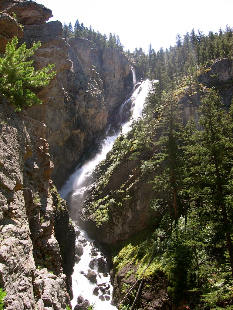
Woodbine Falls is a 375-foot tiered waterfall on Woodbine Creek in Stillwater County, Montana, in the Custer Gallatin National Forest above the Stillwater River near Nye. A short, steady climb from Woodbine Campground ends at a viewpoint beside the falls.
The falls
Woodbine Creek comes down a rocky canyon in three steps of horsetail falls. Using lidar models, the World Waterfall Database estimates the drops at about 60, 60 and 235 feet and notes a possible fourth tier a short distance upstream. Older surveys put it at 280 feet.
Getting there
The trailhead is at the back of Woodbine Campground, reached by driving past Nye and the Stillwater Mine. Woodbine Falls Trail 93 runs 0.8 mile one way on a natural surface that climbs steadily. There's a small parking area at the trailhead and toilets in the campground. The out-and-back measures 1.4 miles with 291 feet of gain and is rated moderate. The trail is managed by the Beartooth Ranger District.
The Stillwater River floods of 2022 stranded campers at the campground, where search and rescue crews brought them out, and washed out the trail's low wooden footbridge. Montana Talks reported in June 2025 that a new metal bridge, set higher above the creek, had been installed.
When to go
May to October is the recommended season for the hike.
On site
The trail ends at a viewing area next to the falls. The trail is dog-friendly.
Nearby
Falls Creek Falls is about 4.2 miles away and Cathedral Creek Falls about 4.3 miles. Flood Creek Falls lies about 5.4 miles away, and West Fork Falls, on the West Fork Stillwater River, about 5 miles.
Distances are straight-line.