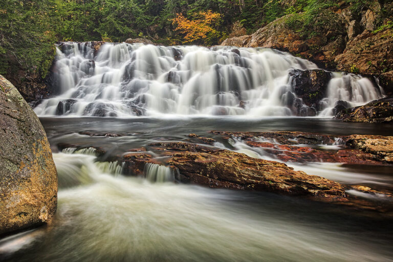
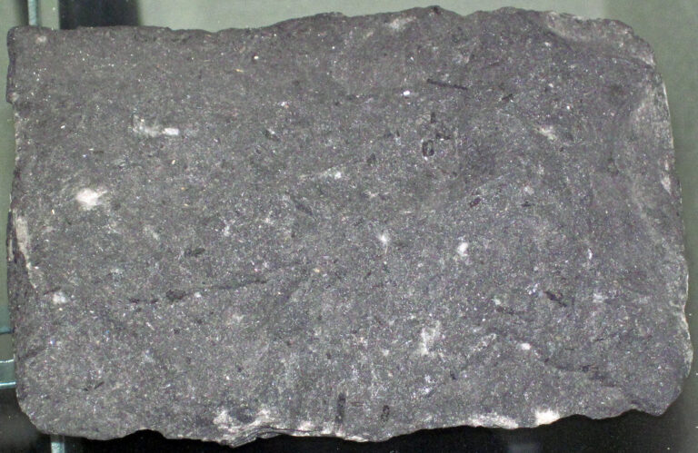
Campton Falls is a 36-foot tiered waterfall on the Beebe River in Campton, Grafton County, New Hampshire, just below Route 175 between Plymouth and Campton. A USGS geological bulletin identifies it as the classic locality of camptonite, a lamprophyre dike rock.
The falls
The Beebe River drops in three steep sections. The middle one, the most visible, pours 18 feet over a ledge about 60 feet wide into a large pool; the upper and lower steps are smaller and harder to see. The falls are also known as Beebe River Falls, and one guide gives 15 feet and describes a rugged block of water among pine and hemlock.
Getting there
The route starts at exit 27 (Blair Bridge / West Campton): follow Blair Road across the covered bridge to Route 175, then look for a large dirt pullout on the right about 500 feet past the Route 175 bridge over the Beebe River. From there a short, steep and eroded path leads down; the falls sit only about 50 feet from the road. Land ownership isn't documented.
When to go
Flow runs all year, with higher water for about three months of it. May to October is the recommended season.
On site
The steep, eroded path leads down to the large pool below the 18-foot drop. Dogs are allowed, swimming is not permitted, and there is no wheelchair access.
Nearby
Livermore Falls on the Pemigewasset River is about 3 miles away, Hall Pond Falls about 5.3 miles, and Branch Falls about 5.4 miles.
Distances are straight-line.