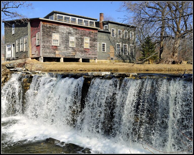
Neshobe Falls is a 25-foot steep cascade on the Neshobe River in the center of Brandon, Rutland County, Vermont. It slides down a sloping ledge immediately below the Route 7 bridge, with buildings on both banks, and it once powered the town's earliest mills.
The falls
The falls are surveyed at a single 25-foot drop, about 40 feet wide on average and up to 50 feet across, running 70 feet down a ledge pitched at about 40 degrees. Earlier surveys listed 20 feet. The Neshobe River drains about 21 square miles above the falls, a basin of marshes and wetlands that climbs high onto the west flank of the Green Mountains.
Getting there
The falls sit in downtown Brandon where Route 7 crosses the river on a low, culvert-like bridge. Street parking is available, mostly on the south side of the river. The town has restored part of the riverbank above the falls as a small green space with a rotunda beside Route 7, which overlooks the water. Brandon's park rules close town parks to gatherings between 10 p.m. and 6 a.m.
When to go
Flow on the Neshobe depends on runoff from its watershed.
On site
Viewing is from the green space and the Route 7 area above the falls. Access to the base, swimming rules and pet rules aren't documented.
History and name
The foundations of the town's first mills are still visible at the Lower Falls, across the river from Green Park. The site later held Brandon's iron foundry, whose stoves became known across the region; the present Town Office was the company's headquarters. Upstream, the Upper Falls has a marble dam that ran the town's lumber mill.
Nearby
Leiscester River Falls is 6.7 miles away, the Falls of Lana on Sucker Brook 7.4 miles, and Sutherland Falls on Otter Creek 9.7 miles.
Distances are straight-line.