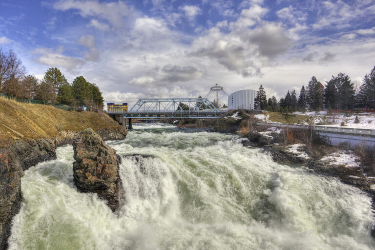
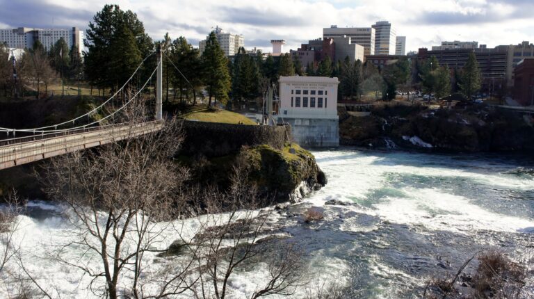
Upper Spokane Falls is a 40-foot segmented cascade on the Spokane River in Spokane County, Washington, where the river splits around Canada Island on the north side of Riverfront Park. Walkways and two pedestrian suspension bridges carry visitors right over the channels, close enough to feel the mist.
The falls
The upper falls drops about 40 feet in cascades around Canada Island. Before dams and bridges, the upper and lower falls formed one continuous series about one-third of a mile long, with an estimated drop of 120 to 130 feet in all; development split it into the upper falls and Spokane Falls downstream. The Upper Falls Power Plant, owned by Avista, stands beside the cascades.
Getting there
The falls are inside Riverfront Park, 507 N. Howard Street, open daily from 6 a.m. to midnight. Parking is available in paid lots around the park; cars cannot drive on park paths. The viewing area is on the park's north side, where two suspension bridges cross beside the Washington Water Power building. The site is free and wheelchair accessible, with minimal walking on wide, even paths.
When to go
Flow peaks with mountain snowmelt in spring, around May, and spring and early summer are the recommended season. Lower water in late summer and early fall exposes more of the basalt. The falls are lit at night, and blue hour is recommended for photos, though foot traffic on the bridges can shake tripods.
On site
The suspension bridges are the main viewpoints: the south channel can be seen from a footbridge, the north channel from Canada Island or the bridge beside it. In spring runoff, spray soaks the bridge walkway. Dogs must be leashed under park rules.
History and name
The suspension bridges were built for Expo '74. The city began renovating the south suspension bridge in May 2023.
Nearby
Canada Island Falls and Spokane Falls are each about 0.2 mile away, both in Riverfront Park. Indian Canyon Falls is about 2.9 miles away on Indian Canyon Creek.
Distances are straight-line.