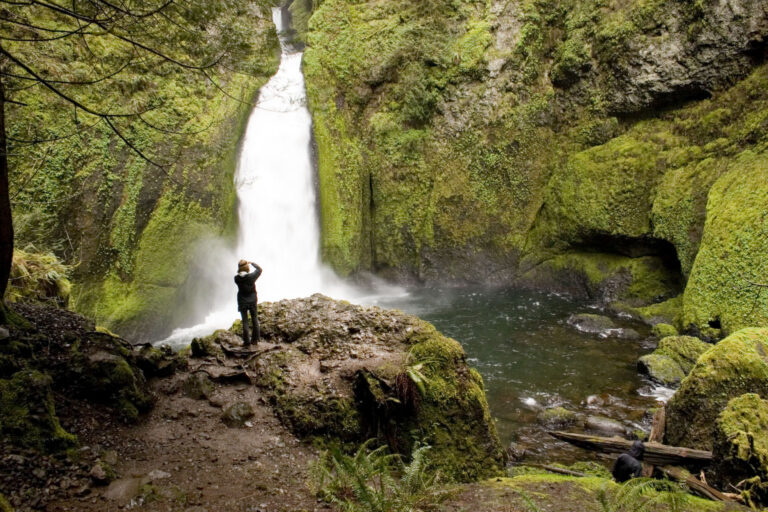
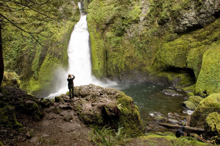
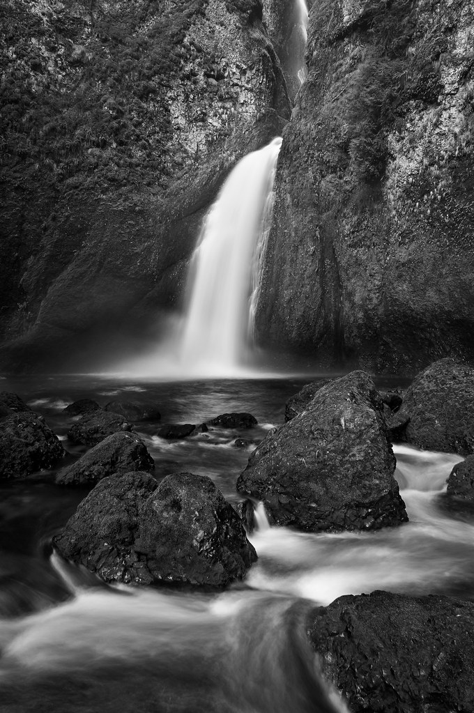
Wahclella Falls is a 127-foot tiered plunge waterfall on Tanner Creek in the Columbia River Gorge, Multnomah County, Oregon, a short hike up a side canyon from Bonneville Dam.
The falls
Tanner Creek leaves a narrow slot in two steps, a 48-foot upper tier and a 79-foot lower plunge, into a large pool ringed by dark basalt. The creek is fed mainly by an underground spring, so its flow changes little with the weather, and the falls run all year.
Getting there
The trailhead is off Interstate 84 at exit 40, the Bonneville Dam exit, about 1.5 miles west of Eagle Creek: turn right at the first intersection, and the trailhead is about 200 feet farther on. The path leads 0.9 mile up Tanner Creek at a moderate grade, with occasional mud, splitting into a loop about 0.75 mile in. The full route forms a 2.4-mile lollipop loop. Forest Service regulations require a day fee: $5 per vehicle, or a Northwest Forest Pass or federal recreation pass; state park passes are not accepted.
The trail reopened in 2026 after Trailkeepers of Oregon volunteers repaired winter storm damage.
When to go
With its spring-fed flow, the falls maintain steady volume year-round. East Fork Falls, a seasonal 50-foot waterfall, can be seen only from the lower trail of the loop.
On site
The loop passes the small but forceful Munra Falls, climbs a set of stairs under bigleaf maples and fire-scarred Douglas firs, then drops back into the canyon where Wahclella Falls sits.
History and name
The Mazamas mountaineering club named the falls in 1915 after a Native American village that stood near Beacon Rock on the Washington side of the Columbia. The falls are also known as Tanner Creek Falls and Tanner Falls.
Nearby
Munra Falls is about 0.6 mile away, beside the trail. Also on Tanner Creek, Swaawa Falls is about 0.1 mile from the main falls, with Sundance Falls about 0.2 mile and Caesura Falls about 0.3 mile.
Distances are straight-line.