Webbers Falls was a low ledge on the Arkansas River in Muskogee County, Oklahoma, a historical feature that no longer survives as an exposed drop.
The falls
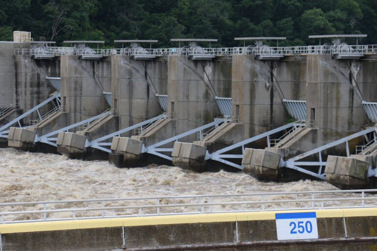
Zebulon Pike recorded the falls at 6 or 7 feet at ordinary river stage in 1806. The Army Corps of Engineers says the ledge, or riffle, was barely noticeable before the river was impounded; navigation works later cut a channel through the rock, and the modern Webbers Falls Lock and Dam impounded the river upstream of the historic falls. The dam sits more than three miles upstream of the historic site and is not a viewpoint for a surviving waterfall.
Getting there
The Webbers Falls Lock and Dam recreation area is open year-round, with an overlook at the powerhouse; campgrounds there are normally open March 1 through October 31. A separate Webbers Falls City Park, with river access and walking paths, sits at different coordinates from the historic falls site.
History and name
Pike called the falls "La Cascade" in 1806. Walter Webber established a trading post and portage there in 1829. Construction of Webbers Falls Lock and Dam began in 1965, the lock closed on November 9, 1970, and navigation through it began in December 1970.
Nearby
Lower Verdigris Falls is about 32.5 miles away, McSpadden Falls about 36.4 miles, and Natural Dam Falls, across the line in Arkansas, about 39.2 miles.
Distances are straight-line.