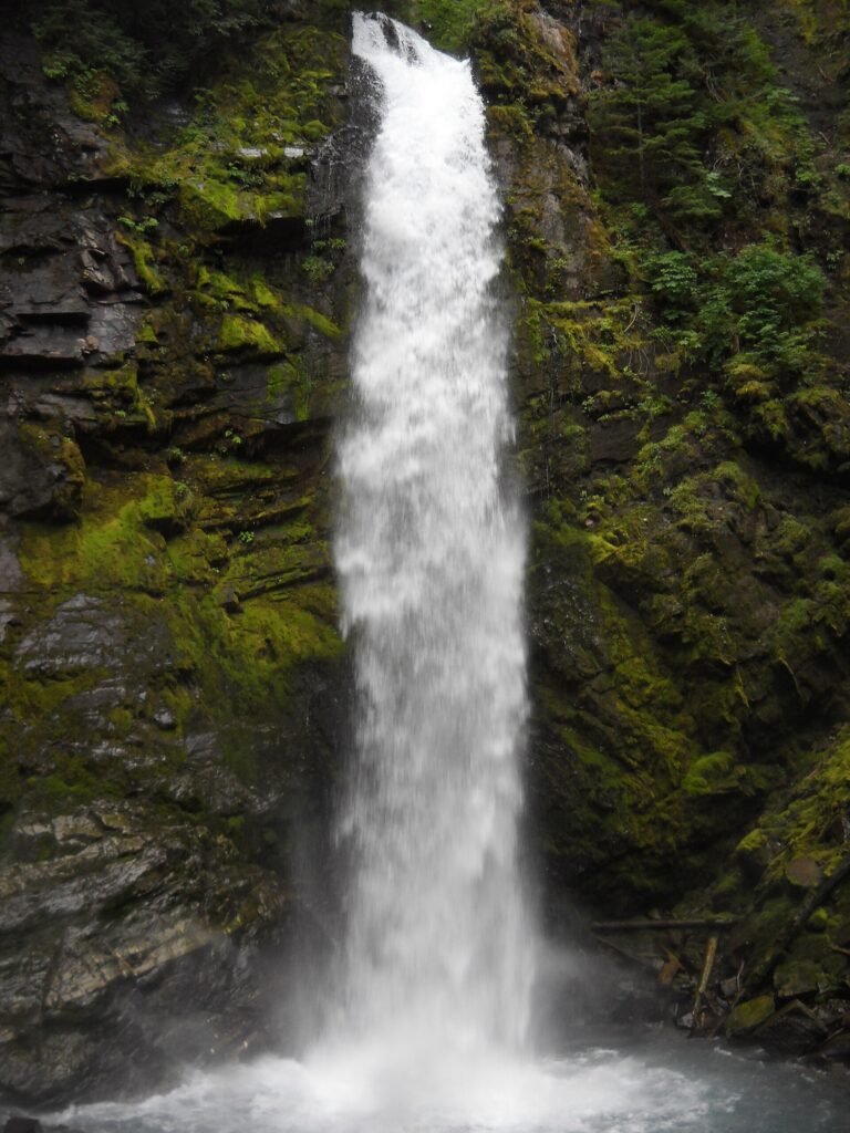
Wells Creek Falls is a 93-foot plunge waterfall on Wells Creek in Whatcom County, Washington, in the North Cascades on the north side of Mount Baker. It can be seen from a forest road crossing, and the World Waterfall Database, which has surveyed it in person, lists it as a single drop.
The falls
Wells Creek pours off a dark volcanic cliff into an amphitheater, then runs through a narrow rock channel and a short canyon below the road. The fall averages about 10 feet wide. It flows all year, swelling in late spring and early summer until mist fills the basin. Other observers measure the height at 90 or 91 feet.
Getting there
From the Mount Baker Highway, turn onto Forest Road 33 (Wells Creek Road, signed for Nooksack Falls) and drive about 5 miles to the Wells Creek crossing, where the falls are visible from the road. A closer view means walking up the wide streambed and fording the creek at least once. The road is adequate for logging traffic but rougher beyond the falls. A seasonal closure gate on Wells Creek Road limits winter access.
When to go
The creek runs all year and is strongest in late spring and early summer. Historically the road gate has closed around November 1 and reopened around July 1; confirm current status before driving up. In winter avalanche runout zones begin beyond one mile from the gate.
On site
The roadside view needs no hike. The 2003 floods turned the channel below the falls into a broad gravel bar and straightened the creek, which made the base easier to reach, but the approach still requires at least one ford.
History and name
A 1912 map of Mount Baker already labeled the falls Wells Creek Falls. The name has sometimes been wrongly applied to Mazama Falls upstream.
Nearby
Mazama Falls is about 1.5 miles upstream on Wells Creek. Sholes Creek Falls is about 0.9 mile away, and Landslide Falls, also on Wells Creek, about 1.4 miles. Nooksack Falls is near the start of Wells Creek Road.
Distances are straight-line.