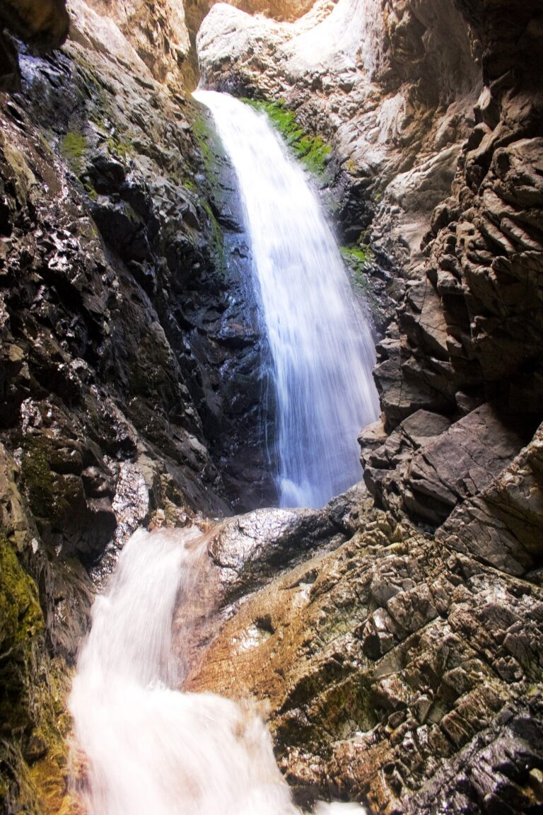
Zapata Falls drops 30 feet along South Zapata Creek in Alamosa County, Colorado, tucked inside a narrow slot canyon at the foot of the Sangre de Cristo Mountains south of Great Sand Dunes National Park. Seeing the falls requires a short, steep hike and a wade up the creek into the rock crevice.
The falls
South Zapata Creek pours through a narrow gorge and drops in a single horsetail. The drop measures about 30 feet, though agency figures also list 25 feet. Because the gorge is too tight for lidar to resolve clearly, additional steps may hide upstream where the canyon loses some 140 feet across a tenth of a mile. Earlier surveys recorded no height and listed three drops. Glacial meltwater found a weak spot in a moraine and carved the gorge over thousands of years.
Getting there
The falls sit in the 628-acre Zapata Falls Special Recreation Management Area, state trust land owned by the Colorado State Land Board and managed with the BLM San Luis Valley Field Office. From Highway 150, a steep, rough gravel road climbs 3.5 miles to the day-use parking area, where four-wheel drive is recommended. The trail from the lot is half a mile one way, rocky and steep, and ends in the creek bed. There is no fee.
When to go
In summer the creek runs cold and fast through the gorge. In winter the falls freeze into a tall column of ice suited to experienced ice climbers.
On site
Seeing the falls means wading and scrambling over rocks into the crevice, and the water is cold. The trail is slippery, and climbing the falls is prohibited because the rock is slick, the water can run high and fast, winter ice is unstable, and black swifts nest in the gorge, a documented breeding site for the species in Colorado. Dogs must be leashed. The day-use area has accessible restrooms but no drinking water, and a year-round campground nearby looks out over the San Luis Valley and the dunes.
History and name
Zapata is Spanish for "shoe." The name ties to the Zapata settlement founded by Mexican families in 1864 and to Zapata Ranch, a cattle operation assembled in the 1870s that still runs today.
Nearby
Crystal Falls is about 24 miles away, while Willow Creek Falls is about 26 miles and Macey Falls about 26.7 miles. Great Sand Dunes National Park is a short drive north.
Distances are straight-line.