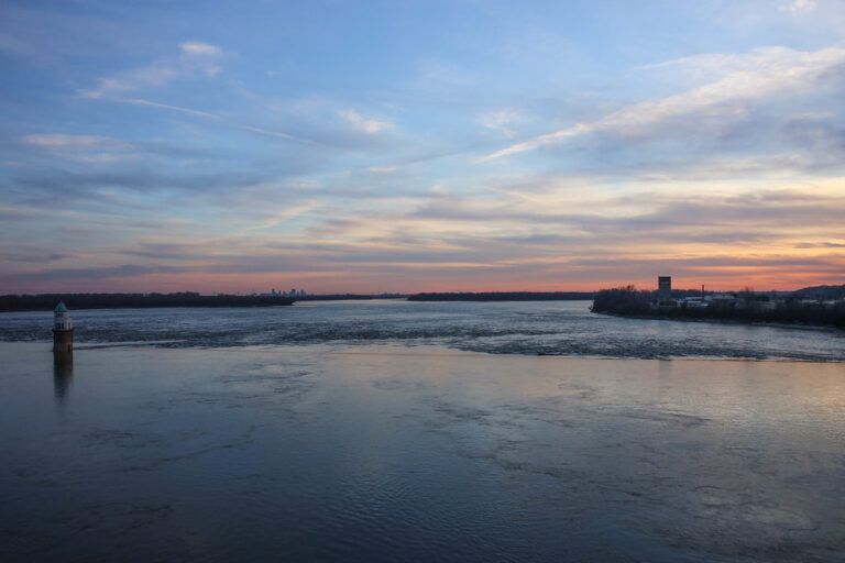
Chain of Rocks is a Class III–IV rapid on the Mississippi River in north St. Louis, Missouri, where the river pours over a low-head dam just upstream of the Old Chain of Rocks Bridge. The original Chain of Rocks formed a 17-mile shoal of rocky rapids beginning just north of the city.
The falls
In the 1960s the Corps of Engineers built a low-water dam that covered the natural rock ledges, so the rapids seen today form below and around that dam. Broken concrete and rebar lie alongside rock in the channel, and two water-intake towers stand in the river here.
The 1.4-mile Chain of Rocks reach is rated Class III–IV. The gauge is the Mississippi River at St. Louis, about 11 miles downstream, with a range of 3 to 26 feet; the medium band equals roughly 156,000 to 258,000 cfs.
Getting there
The land-side view is from Chain of Rocks Park, 10840 Riverview Drive, St. Louis, run by Great Rivers Greenway: open 7 a.m. to 30 minutes after sunset, with 55 parking spaces, three of them accessible. The Old Chain of Rocks Bridge carries pedestrians and cyclists across the river, with free parking at both ends. From June 22 to early October 2026 the canal bridge on the Illinois side is closed, so the bridge can be reached only from Missouri; I-270 ramps to Riverview Drive are also closed, with posted detours.
Paddlers running the river portage on river left at mile 190.3 on Chouteau Island: take out above the white riprap at the fishing access, carry about 200 feet, and relaunch far enough downstream to stay clear of the eddy. Do not dodge the dam through the navigation canal, where there is no safe place to pull aside when barges pass.
When to go
On the St. Louis gauge, below 16 feet the portage is required. From 16 to 20 feet, stay middle or right of the intake towers and scout first. At 20 feet the best line runs between the towers and over the rapids, and from 24 feet most paddlers pass with only minor turbulence.
On site
The Oil Can Hole at the low-head dam is life-threatening; a drowning was reported at the Chain of Rocks in 2021. Stay out of the water at the dam and portage at low levels. Landing on the Missouri water-treatment-plant property is prohibited. Dogs must be leashed in the park.
History and name
The bridge takes its name from the rocky shoals. It opened in July 1929 and has a 30-degree bend midway across its mile-long span, added after river captains objected to piers among the intake towers and because the bedrock on the first route could not carry them. Route 66 crossed it from 1936, and it reopened in 1999 as a walking and cycling bridge.
Nearby
Glasgow Village is about 1.2 miles away. No other rapids are listed close by; pair a look at the river with the walk across the Old Chain of Rocks Bridge from Chain of Rocks Park.
Distances are straight-line.