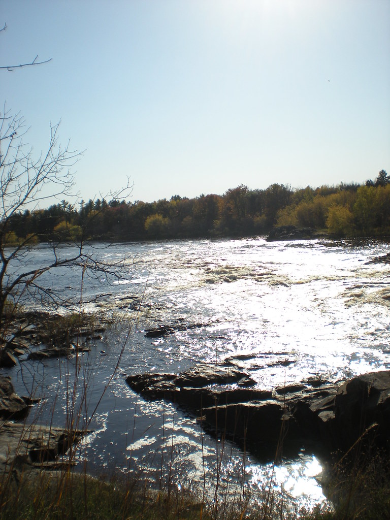
Pemene Falls is a Class IV rapid on the Menominee River, which forms the Michigan–Wisconsin border here in Menominee County, Michigan. The river narrows through a granite constriction beside the remnants of an old concrete dam, and the Wisconsin shore belongs to the Menominee River State Recreation Area.
The falls
Water thunders through the granite gap during spring flow. The rapid is a steep river run rather than a free-falling waterfall. It rates Class IV for paddlers, with a powerful constriction and a hole. The runnable range spans 800 to 10,000 cfs on the Menominee River Below Pemene Creek Near Pembine, WI gauge: low from 800 to 1,200, medium from 1,200 to 5,000 and high from 5,000 to 10,000.
Getting there
On the Wisconsin side, park at the end of Verheyen Lane off County Road Z. The trail to the overlook is 0.5 mile each way, and the same trailhead serves a 0.8-mile short loop and a 1.9-mile long loop. The route follows former logging roads and cleared paths with a natural surface, crossing steep slopes and rocky ground. The recreation area is open from 6 a.m. to 11 p.m. year-round and needs no vehicle admission sticker. River access points include the gravel Pemene boat landing off Horseshoe Road and Saler Landing off Rattie Road.
When to go
Spring brings strong flow through the constriction. Paddlers can check the Pembine gauge against the runnable range before a trip.
On site
The overlook is primitive, with no developed viewing area at the edge of the gorge. Signs mark Pemene Falls as a mandatory portage, carried on the Michigan side. A canoe and walk-in campsite can be reached from the hiking trail.
Nearby
Quiver Falls, also on the Menominee River, is about 4.7 miles away. Chipmunk Falls is about 12.3 miles away, Sand Portage Falls on the Menominee about 14.6 miles and Horserace Falls about 18.6 miles.
Distances are straight-line.