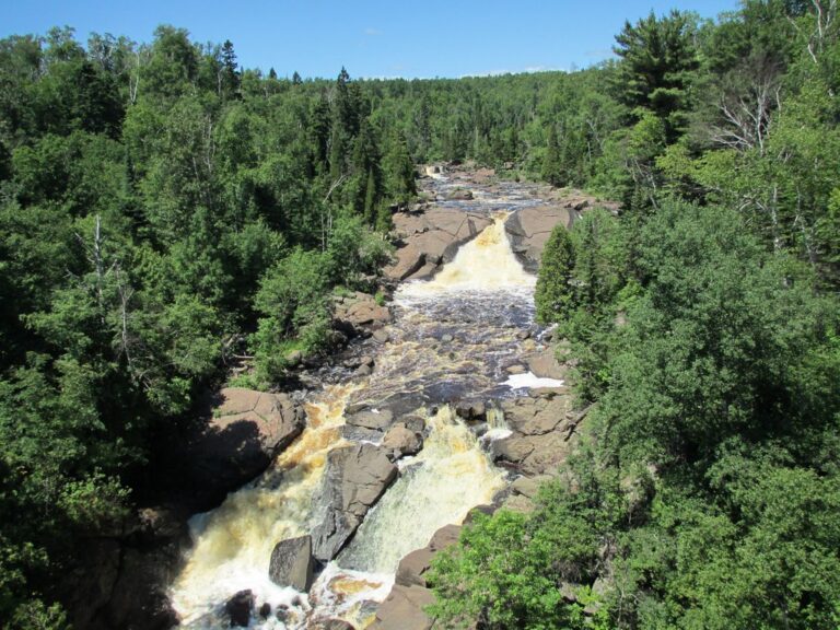
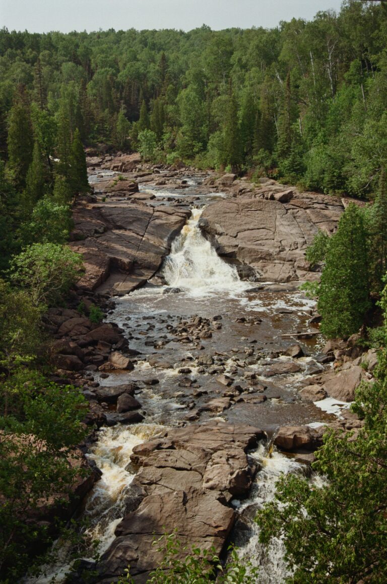
Beaver River Falls is a 30-foot waterfall on the Beaver River in Lake County, Minnesota, a pair of steep tiered cascades about 2.8 miles southwest of Silver Bay. Lidar estimates indicate that this named feature is not the well-known falls seen from the Highway 61 bridge in Beaver Bay, but a separate drop a little farther upstream.
The falls
It is listed as two drops totaling about 30 feet and is still unconfirmed on the ground. It lies about a quarter mile upstream of the roadside falls. Its exact form and the view from the banks are not documented.
Getting there
No public trail, parking or land manager is documented for this upstream drop. The familiar falls downstream sit beside Highway 61 in Beaver Bay, a few hundred yards above Lake Superior. That walk is about 0.1 mile round trip from a circular lot next to the river.
When to go
The roadside falls get thin in summer, with far less water going over them by August.
On site
At the roadside falls, the rocks are slippery in wet weather and the fence is only about a foot high. Visitors can scramble down into the gorge for closer views.
Nearby
Glenn Avon Falls farther up the Beaver River is about 2.1 miles away. Pancake Falls is 6.8 miles away, Illgen Falls 7.6 miles and Gooseberry Falls 11.6 miles down the North Shore.
Distances are straight-line.