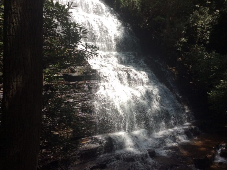
Benton Falls is a 65-foot waterfall on Rock Creek in Polk County, Tennessee, in the Chilhowee Recreation Area of Cherokee National Forest. An easy trail of about 1.5 miles leads to it from the recreation area.
The falls
Rock Creek slides down a rock face in a single veiling horsetail, the water spreading into a wide sheet while it keeps contact with the stone. The drop is 65 feet, based on lidar data. It is the tallest of the recorded falls on Rock Creek.
Getting there
From US 64, turn onto Forest Road 77 at the Chilhowee Recreation Area sign and drive 7.2 miles, past several scenic overlooks, to the recreation area. The Forest Service recommends this route and advises against following GPS directions that send drivers in by way of Benton Springs. The trail to the falls runs about 1.5 miles each way from the recreation area, and the hike is rated easy.
Day use at Chilhowee costs $3 per vehicle. The recreation area was open as of March 2026.
When to go
Chilhowee is open for day use year-round.
On site
The recreation area has picnic tables and drinking water. Dogs must stay on a leash no longer than six feet. This is black bear country: on April 13, 2006, a bear attacked a family near Benton Falls, killing a six-year-old girl and badly injuring her mother and younger brother. Food and other bear attractants must be stored in a hard-sided vehicle or an approved container.
History and name
Benton Falls is an unofficial name, though it appears on the Oswald Dome topographic map.
Nearby
Big Bluff Falls, also on Rock Creek, is about 0.6 mile away, and Chestnut Mountain Falls about 0.8 mile. Farther out are Lowry Falls, about 6.5 miles, and Gee Creek Falls, about 8.4 miles.
Distances are straight-line.