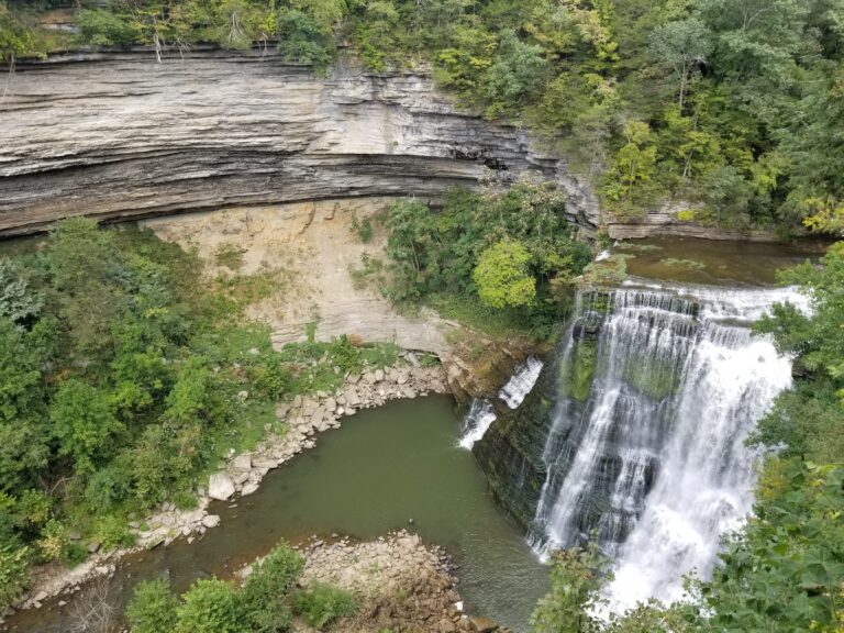
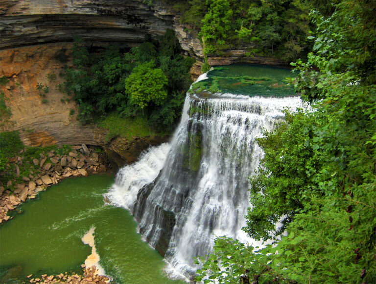
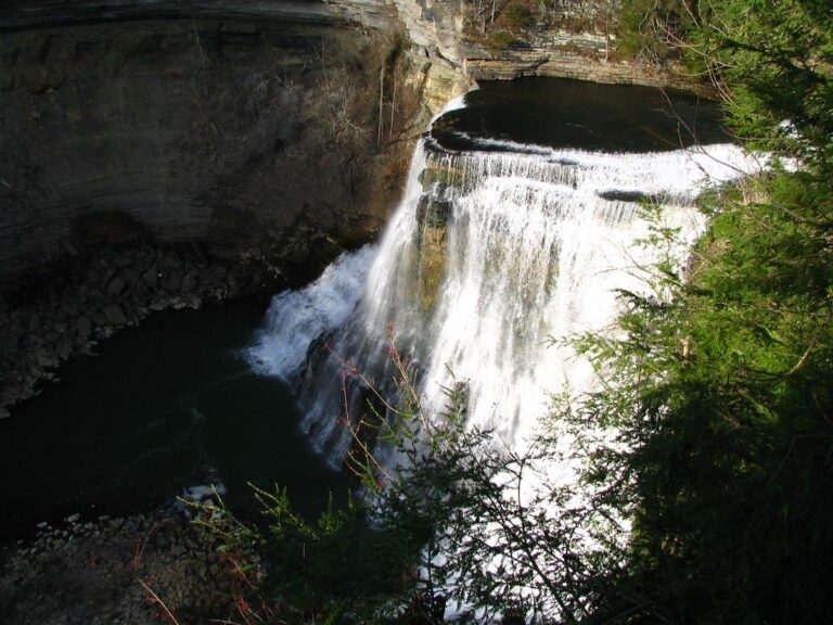
Burgess Falls is a 101-foot waterfall on the Falling Water River in Burgess Falls State Park, Putnam County, Tennessee, the last and largest of four falls the river makes as it drops off the Highland Rim into a limestone gorge. The day-use park is free, and a short but moderately strenuous loop leads to an overlook above the falls.
The falls
Lidar puts the drop at 101 feet in a single vertical block; the long-quoted 136-foot figure is described as a considerable overestimate. The state park now gives 103 feet. The river pours over a broad ledge into a gorge enclosed by walls 100 to 200 feet high.
Getting there
The park is at 8487 Burgess Falls Road, Baxter. From the lower parking lot, the River Trail runs 0.75 mile along the gorge past the upper falls to the Burgess Falls overlook; the trail is rated moderate, and most people return along the 0.55-mile gravel service road, a 1.5-mile loop in all. The quarter-mile Ridgetop Trail looks down the canyon and is usually less crowded.
In 2026, construction of a new Visitor Center has closed the upper lot, leaving the lower lot of about 51 spaces, and RVs and trailers can't be accommodated. The park asks visitors not to park on roadsides and to try another state park when the lot is full.
When to go
Crowds peak on weekends, holidays and school breaks; the park recommends weekdays or early mornings. The falls are most powerful after heavy rain, when the mist throws rainbows high above the gorge in the right sun.
On site
The Burgess Falls overlook is open. There is no access to the gorge or the base from the park; a mid-2010s storm wrecked the staircase to the base, and it has since been removed. The base can be reached only by boat or kayak from the Cane Hollow Recreation Area. The rocks at the top of the falls are unstable and slick, and there is no designated swim area. An ADA-accessible sidewalk leads to the cascades. Cell service is poor to nonexistent in the parking lots and on the trail.
History and name
The falls are named for Tom Burgess, a Revolutionary War veteran who settled on this stretch of the river in the 1810s; his family used the rapids to run a gristmill. In 1924 Cookeville built a dam and hydroelectric plant here; the earthen dam failed in 1928 and was replaced by the present 40-foot dam, and the plant ran until 1944. The land became a state natural area in 1971, and the state park opened on July 8, 1975.
Nearby
Middle Falls (Burgess Falls State Park), Little Falls and Falling Water Cascades are each about 0.2 mile upstream, all on the River Trail. Window Cliff Falls, about 1.3 miles away on Cane Creek, lies in Window Cliffs State Natural Area, which has its own entrance and 18 unbridged creek crossings; pets aren't allowed there.
Distances are straight-line.