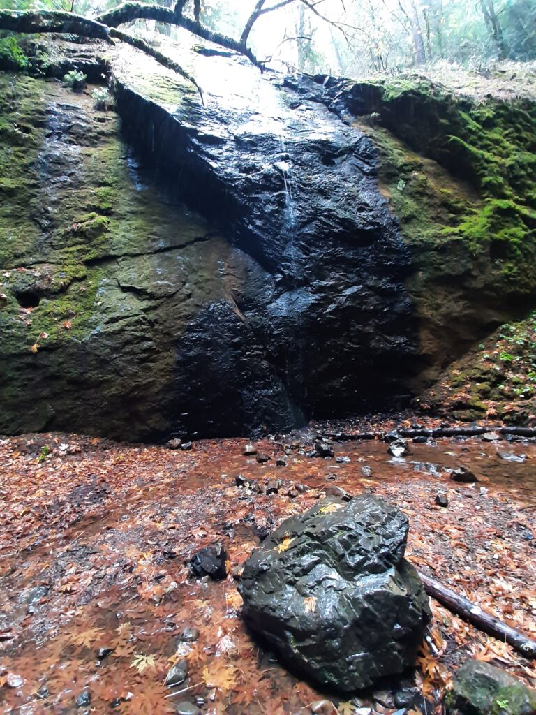
Chamberlain Falls drops about 60 feet in Jackson Demonstration State Forest, Mendocino County, California.
The falls
A lidar reading, on a World Waterfall Database page last updated in December 2024, gives a height of about 60 feet, well above the 30 feet used previously; the page's status is unconfirmed and does not list a source stream, a tallest drop, or a drop count. Other estimates put the drop at 50 to 51 feet, with one report describing a convex profile whose upper section is visible through trees. The fall is classified as a horsetail.
Getting there
The falls sit in Jackson Demonstration State Forest, managed by CAL FIRE and covering 48,652 acres, where signage is limited and cell service is sporadic; visitors should carry a map and stay alert to active operations and shared roads. Access is off unpaved Road 200, about 5.5 miles from Highway 20, followed by a short hike; the road is bumpy, mostly one lane, and can become difficult after heavy rain. A formally accessible route and public transit are not documented.
When to go
The forest is open to the public in most locations, subject to temporary closures and active operations; current notices list closures on Roads 250 and 202, but none for Road 200. One report found low flow in late November.
On site
Hiking is allowed, and pets must be leashed; hazards include ticks, Lyme disease, poison oak, sparse signage, and poor cell coverage. In March 2026, a 71-year-old hiker who went missing in the forest was found alive after three days; her vehicle had been found near the Chamberlain Trail on Road 200.
Nearby
Russian Gulch Falls is about 10.9 miles away, Grizzly Creek Falls about 30.3 miles, and Mill Creek Falls about 34.3 miles.
Distances are straight-line.