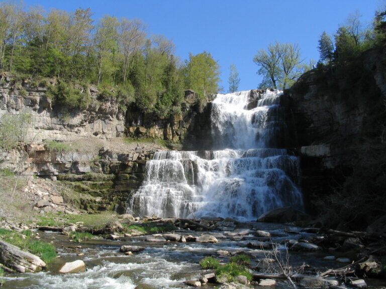
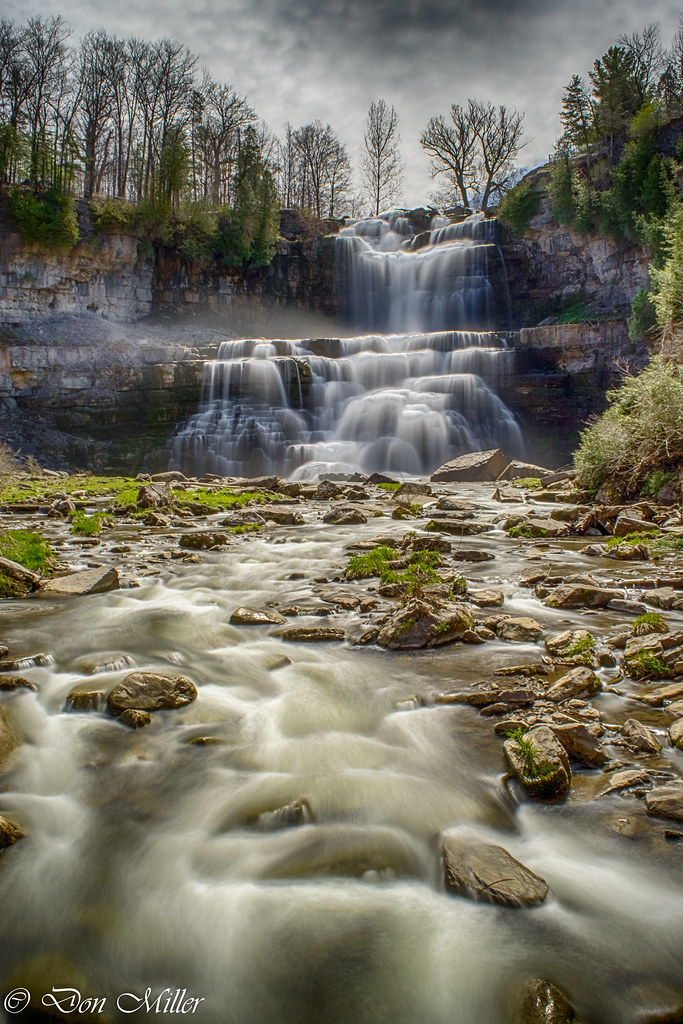
Chittenango Falls is a 130-foot, two-tier waterfall on Chittenango Creek in Chittenango Falls State Park, Madison County, New York, about 3.4 miles north of Cazenovia and about 16.2 miles from Syracuse. The creek drops over the Onondaga Limestone escarpment into a gorge, and the falls are the only known home of an endangered snail.
The falls
The upper tier falls almost vertically for 74 feet, and the lower tier steps down another 56 feet in a stairstep pattern. The World Waterfall Database surveyed the falls in person in May 2018 and used lidar to arrive at 130 feet. Older figures, including the park's own, give 167 feet. The upper tier is 50 to 75 feet wide, while the lower tier can spread to 135 feet at peak flow. Chittenango Creek drains 58 square miles fed by Cazenovia and Tuscarora lakes, so it runs all year.
Getting there
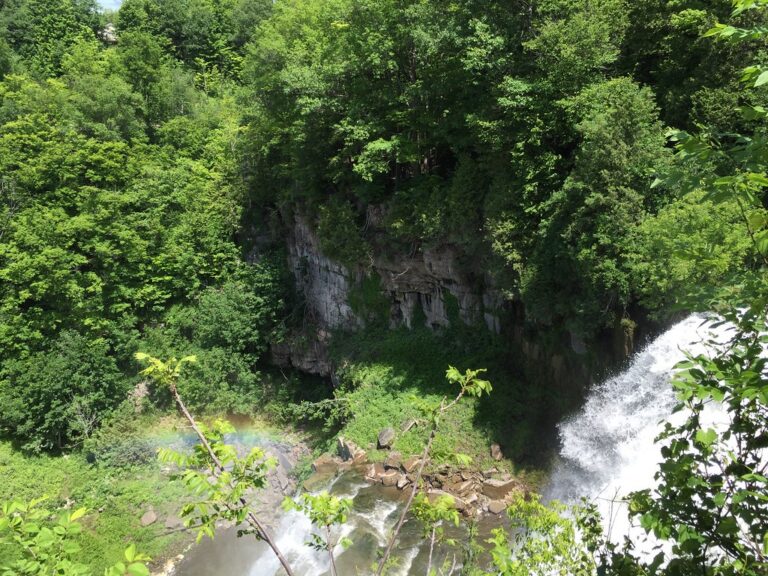
The park is off Route 13 north of Cazenovia and is managed by New York State Parks. A viewpoint at the top of the falls is less than 100 yards from the parking area. From there a path winds down into the gorge to a footbridge below the falls and climbs back up the other side; the official trail map puts the Gorge Trail at 0.36 mile, and AllTrails measures the full loop at 0.5 mile with 147 feet of gain, rated moderate. The descent includes stairs.
A seasonal pay station charges $5 per car from May 23 to September 1. The park is open year round, with some restrictions, from sunrise to sunset.
When to go
Peak flow comes in March and April, at around 250 cubic feet per second. By August and September the creek drops to about 30 cubic feet per second, but the falls keep running.
On site
The bottom of the loop, below the falls, is the best viewing area. The path gets slippery after rain. Up to two pets are allowed on a leash no longer than 6 feet. Above the gorge the park has restrooms, picnic pavilions and a playground, and fishing is allowed; the old campground closed in the mid-2000s.
The endangered Chittenango ovate amber snail survives at a single known site beside the falls.
History and name
In 1784 the Oneida people described the falls as "a Place where the Water runs over a Ledge of Rocks" when setting boundaries with New York commissioners. The state park was created in 1922 and covers 193 acres.
Nearby
Perryville Falls on Canaseraga Creek is about 2.8 miles away. Oxbow Falls on Clockville Creek and Edwards Falls on Limestone Creek are both about 6.1 miles away, and Pratts Falls on Pratt Creek is about 8.4 miles away.
Distances are straight-line.