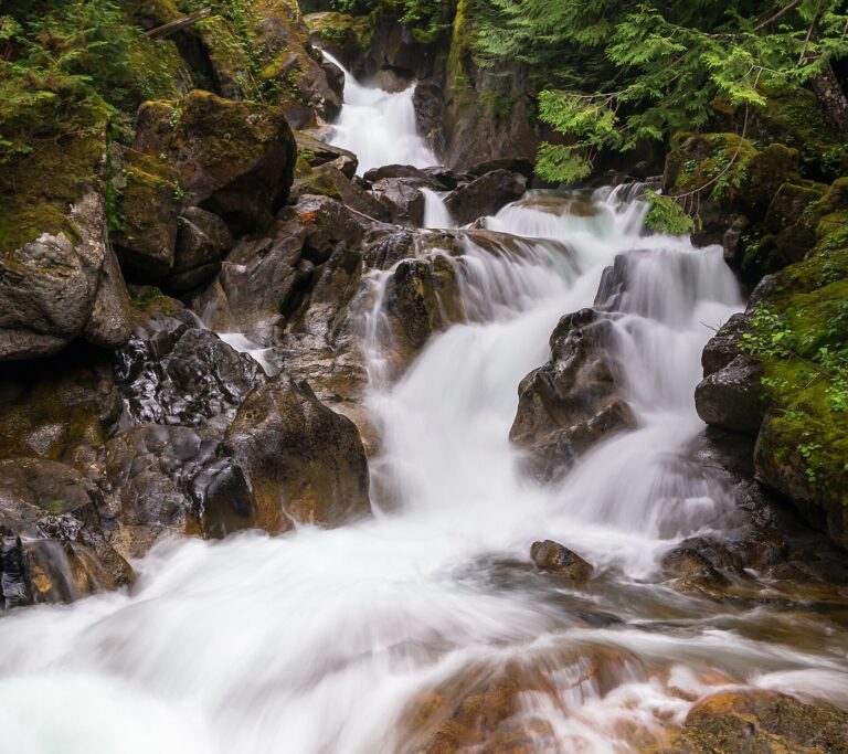
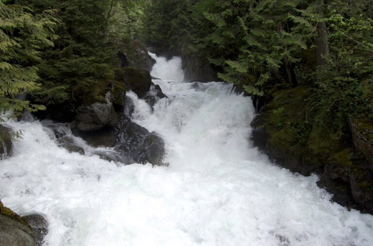
Deception Falls is a 105-foot tiered cascade on Deception Creek in King County, Washington, beside US 2 on the way up to Stevens Pass. A half-mile interpretive loop from a Forest Service rest area leads to viewpoints above and below the highway bridge.
The falls
In-person field surveys identify three sections in a dark, narrow forest gully: a hidden upper step of 10 to 12 feet, a 40-foot drop in two steps just upstream of the highway bridge, and a 55-foot slide that ends in a plunge below the footbridge. Earlier surveys listed 94 feet. Below the falls the creek makes a sharp 90-degree turn and slams into a granite wall. Deception Creek drains out of the Alpine Lakes Wilderness and runs on into the Tye River.
Getting there
Deception Falls National Recreation Area sits at milepost 56 on the north side of US 2, east of Skykomish, in Mt. Baker–Snoqualmie National Forest. The lot has about 20 spaces, a vault toilet and picnic tables, and no pass is required. The loop covers 0.5 mile round trip with 50 feet of gain on an easy grade. Stairs at the north end of the lot lead across a footbridge to a viewing deck right beneath the highway bridge.
When to go
April to July brings peak flow. The parking area is gated from about October to April, depending on snow, and the rest area generally operates from Memorial Day to Labor Day.
On site
The first 0.2 mile is paved and built to accessible standards, but it is steep: manual wheelchairs need assistance, and power chairs may have trouble with rocks and boardwalk transitions. An accessible picnic shelter and waterfall viewing platform are available at the site. The remainder of the loop follows packed dirt with short boardwalks and interpretive signs through old-growth forest. The route works well for children, though in early summer the whitewater throws heavy spray over the viewpoints.
History and name
The name goes back at least to the 1890s, when the Great Northern was building its Cascade Tunnel. One old postcard labeled it Roaring Falls, a name that did not persist.
Nearby
Monkey Cage Falls and L Falls are each about 0.2 mile away, and Log Choke Falls is 0.5 mile, all on the Tye River. Alpine Falls, also on the Tye, is 1.5 miles away.
Distances are straight-line.