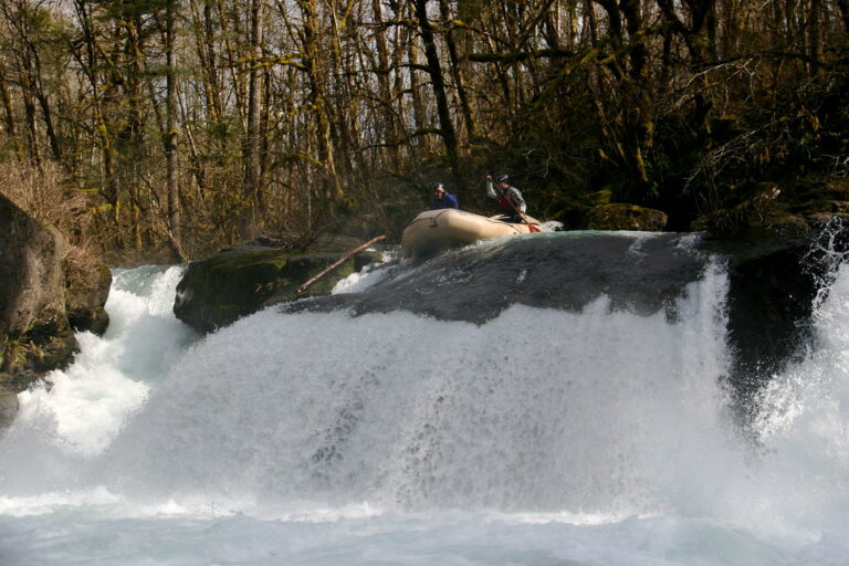
Horseshoe Falls is an unconfirmed waterfall in Sherman County, Oregon, about 32 miles south of Goldendale, Washington, and 84 miles south of Yakima, within the John Day River watershed.
The falls
The Northwest Waterfall Survey lists Horseshoe Falls as an unconfirmed feature and gives no height, drop count or description. Its last update, on March 19, 2017, was general maintenance rather than a new survey. The waterfall lies in the Columbia Plateau, a landscape of layered basalt flows and sagebrush steppe where streams typically drop over basalt cliffs in coulees and river canyons cut by ancient floods. A federal topographic map places a nearby point at 1,470 feet in elevation, versus 1,434 feet for this listing's location; the small difference is not otherwise resolved. Access, trail and current conditions for the falls are not documented.
History and name
Horseshoe Falls is recorded in the database as the waterfall's official name, even though the feature itself remains unconfirmed.
Nearby
Tumwater Falls, also on the John Day River, is about 19.1 miles away. Helm Canyon Falls is about 22 miles, and Sherars Falls, on the Deschutes River, about 23.7 miles. Wolf Hollow Falls is a little farther, about 24.7 miles away.
Distances are straight-line.