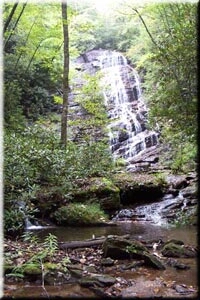
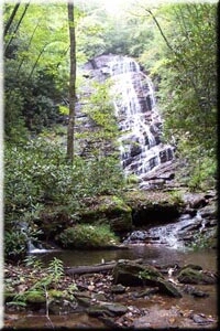
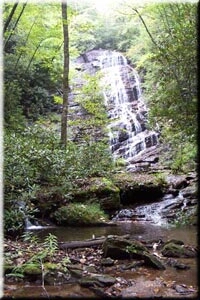
Horsetrough Falls is a 90-foot horsetail waterfall in Union County, Georgia, where a creek at the very head of the Chattahoochee River slides down the flank of Horsetrough Mountain. A short, flat path from a Forest Service campground in the Chattahoochee National Forest leads to a viewing deck at its foot.
The falls
The World Waterfall Database describes a single veiling horsetail about 90 feet tall, measured from lidar; earlier surveys listed 70 feet. The creek is part of the Chattahoochee headwaters, and the river itself takes shape within a mile of the falls; from here the water travels about 500 miles to the Gulf of Mexico. The main ridge of Horsetrough Mountain above carries the Eastern Continental Divide.
Getting there
The trail starts in Upper Chattahoochee River Campground, run by the Chattooga Ranger District. The campground is on unpaved Forest Road 44, about 5 miles from the turn off Highway 75, and day-use parking is at the rear of the campground. The walk is flat and easy, 0.2 mile each way, 0.4 mile round trip, ending at an observation deck. The site is free, open 9 a.m. to 6 p.m. daily. Camping requires advance reservations on Recreation.gov. The campground has no drinking water; portable toilets serve it.
When to go
Seasonal flow at the falls isn't documented. The Blue Ridge here has one of the wettest climates in the East, and the site's daily hours set the window for a day visit.
On site
The trail ends at an observation deck facing the falls, inside the Mark Trail Wilderness. The walk suits all ages, and the site is pet-friendly. Bring water, since none is available at the campground.
Nearby
The Chute on the Chattahoochee River is about 0.2 mile away, Lower Wilks Creek Falls about 0.9 mile and Vandiver Branch Falls about 1 mile. Horse Trough Falls, the two-word spelling, appears on some listings for the same waterfall.
Distances are straight-line.