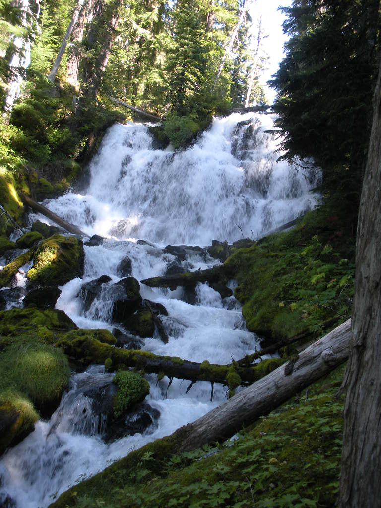
Indian Holes Falls is a 117-foot waterfall on Separation Creek in the Three Sisters Wilderness of Lane County, Oregon, deep in Willamette National Forest. No road or maintained trail reaches it, and the few published accounts come from multi-day backpacking trips.
The falls
Separation Creek is glacier-fed and drains toward the McKenzie River. Available survey data records the waterfall at 117 feet, though details regarding specific drops, form or seasonal volume remain unlisted. Hikers who reached the creek in 2015 observed a large cascade that could be heard a couple hundred yards away.
Getting there
The official Separation Creek Trail was impassable with heavy blowdown in 2015. Hikers used the unsigned but blazed Separation Creek Meadow Trail instead, losing the tread in Separation Meadow, crossing the creek on an old log and turning at an unsigned junction a couple hundred yards above the falls. Another 2015 party came in from the Foley Ridge area. The Foley Ridge trailhead sits along Forest Road 2643, requiring a day-use permit from June 15 to October 15. In 2025 the Foley Ridge Fire closed that trailhead through December 31, 2025.
When to go
Both documented visits took place in late July, within the summer permit season.
On site
An upper viewpoint looks down on the top of the falls. A steep scramble along the creek leads to a mossy lower viewpoint where the whole cascade is visible.
History and name
Just above the falls the route passes the Indian Holes, springs that run across the trail and down to Separation Creek. Trip reports spell the falls both Indian Hole and Indian Holes.
Nearby
An unnamed waterfall on Separation Creek is about 0.1 mile away. Cole Chuck Falls on Honey Creek and Honey Lake Falls are each about 0.5 mile, and Confluence Falls on Separation Creek is about 0.7 mile.
Distances are straight-line.