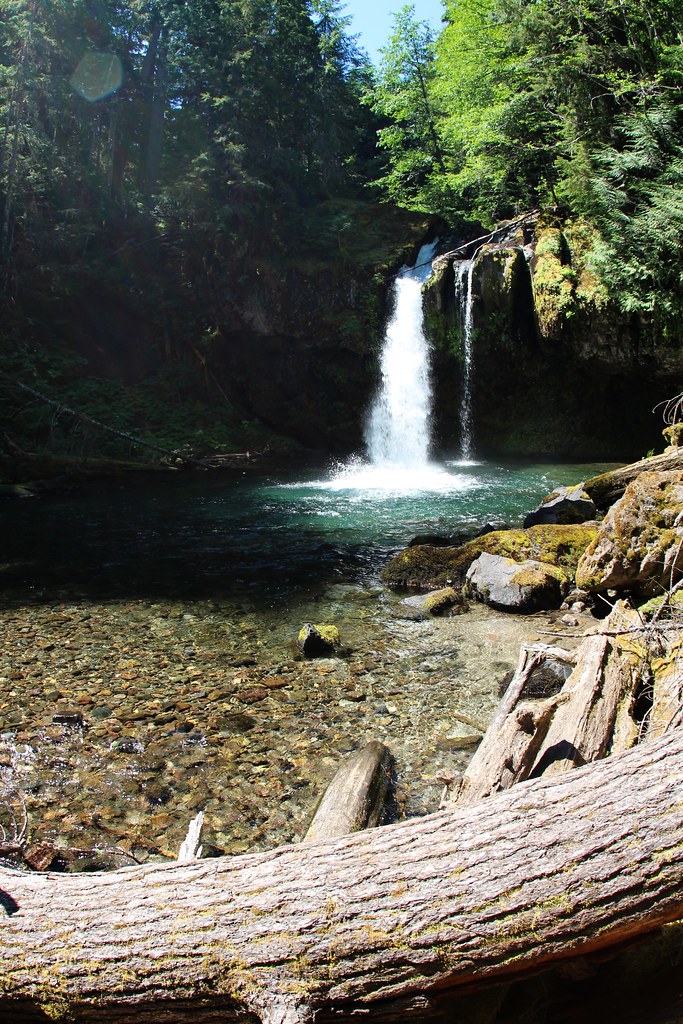
Iron Creek Falls is a 365-foot tiered horsetail waterfall on Iron Creek in Skagit County, Washington, where the creek drops in two tall leaps down a hillside of vine maple above Illabot Creek Road. It is described as a dramatic two-step fall that can be glimpsed from the road.
The falls
Iron Creek, a tributary of Illabot Creek, falls first 173 feet and then 192 feet, both tiers spreading into horsetails. Dense forest partly hides the upper tier. The World Waterfall Database notes that the topography suggests the falls may continue higher than what can be seen. A separate measurement puts the height at 279 feet.
Getting there
The falls sit about a quarter mile upstream of Illabot Creek Road (Forest Road 16), roughly 8 to 10 miles in from the turn off Highway 530. The creek's road crossing is in Mount Baker National Forest. Part of the falls can be seen from the road. Reaching the base is an off-trail bushwhack through a boulder field, slide alder and vine maple, slow going rather than technically hard.
When to go
April to July, or after rain, is the recommended season. By late summer the creek can shrink to a trickle. In autumn the vine maple and alder around the falls turn color.
On site
The upper drop is only partly visible from the base. The approach crosses a boulder field and thick brush.
Nearby
East Iron Creek Falls is about 0.3 mile away. Upper Hilt Creek Falls is about 2.5 miles away, and Petticoat Falls and Huckleberry Falls are each about 4.3 miles. The town of Darrington is about 13.6 miles southwest.
Distances are straight-line.