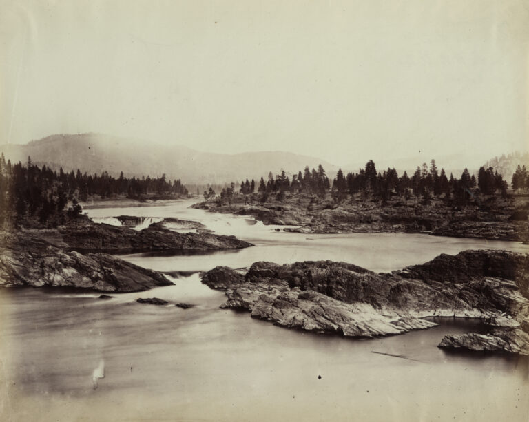
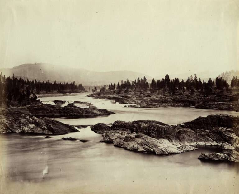
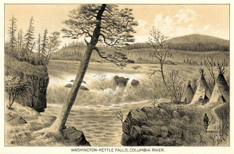
Kettle Falls was a 45-foot waterfall on the Columbia River in Ferry County, Washington, just below the mouth of the Kettle River. For thousands of years it was a great salmon fishery of the Columbia; since 1940 it has lain inundated under Lake Roosevelt, the reservoir behind Grand Coulee Dam.
The falls
The World Waterfall Database measures the river's drop at about 45 feet over two levels separated by several hundred feet of calm water: the upper fall split into two channels, the lower one ran as a single chute. French-speaking traders called the place La Chaudière, the caldron, for the way the water seemed to boil.
Getting there
From the town of Kettle Falls, drive north on US 395 for 3 miles, turn right onto St. Paul's Mission Road, pass the historical center and follow a dirt road for half a mile to the parking lot. The loop is relatively flat and unpaved, though the trail's details box lists it at 0.25 mile. The walk itself is free and needs no reservation; entrance fees may apply.
When to go
The trail is open all year, though snow can make access difficult. No waterfall is visible at normal lake levels. The lake has been drawn down far enough to show part of the old falls only two or three times since 1940, including in 1969 and 1974 during construction of the dam's third powerhouse.
On site
Signs along the trail explain the history of the falls and of the Hudson's Bay Company. Dogs must stay on a 6-foot leash. St. Paul's Mission, built in 1847 and reconstructed in 1939, stands by the road in.
History and name
People fished at Kettle Falls for at least 9,000 years, and between 1,000 and 2,000 Indigenous fishers worked the site, standing on wooden platforms to net migrating salmon. Explorer Charles Wilkes reported catches of up to 900 salmon in 24 hours. The people who lived here, the Ilthkoyape, are ancestors of today's Confederated Tribes of the Colville Reservation; their name likely comes from Salish words for kettle and trap. David Thompson described the falls in June 1811, and the Hudson's Bay Company built Fort Colvile nearby in 1825. In June 1940, 8,000 to 10,000 people from many tribes gathered for the Ceremony of Tears to mourn the falls before the water rose. The original town of Kettle Falls was moved to its present site.
Nearby
Meyers Falls and Upper Meyers Falls on the Colville River are about 3.7 and 3.8 miles away, and Douglas Falls on Mill Creek is about 10.1 miles away. The present town of Kettle Falls is about 3.2 miles from the site.
Distances are straight-line.