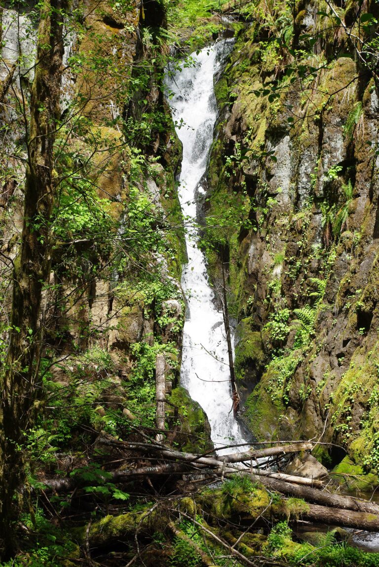
Ki-A-Kuts Falls is a 40-foot waterfall on the upper Tualatin River in Tillamook State Forest, Washington County, Oregon. It sits in a basalt gorge about 1.4 miles north of Barney Reservoir, hidden well enough by cliffs and a bend in the river that it went unmapped until 1993.
The falls
The Tualatin pours through a narrow rock chute in a single drop over basalt cliffs, with columnar basalt lining the channel beside the falls. Regional accounts list the drop at 40 feet. The falls lie about 1,700 feet upriver of the Maple Creek confluence.
Getting there
There is no established trail. The route starts at the Maple Creek Road Trailhead, follows old logging roads, then drops to the river on an informal descent, creating a moderate outing of 2.8 miles round trip with 580 feet of gain, including a side trip to the Maple Creek confluence.
When to go
The hike can be completed year-round. Active logging can close forest roads, and driving in on weekends is recommended.
On site
Reaching the falls means scrambling down a steep riverbank and working over logjams in the channel.
History and name
Eight hikers from the Tualatin Riverkeepers came upon the falls in July 1993, though the location had long been known to Native peoples. The state naming board accepted the name on June 10, 1999, and it was dedicated with the Confederated Tribes of Grand Ronde on June 21, 1999. It honors Ki-a-Kuts, the last chief of the Atfalati band. At the tribes' request the proposed spelling Ki-a-Cut was dropped for the hyphenated tribal form.
Nearby
Upper Tualatin Falls and Maple Falls are each about 1.2 miles away, and Upper Maple Falls is about 2 miles away.
Distances are straight-line.