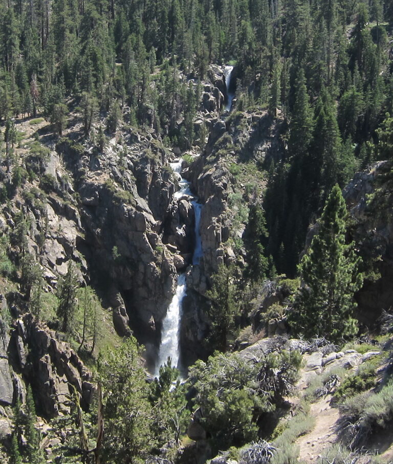
Leavitt Falls is a 135-foot waterfall on Leavitt Creek in Mono County, California, where the creek plunges through a narrow gorge east of Sonora Pass. Travelers on Highway 108 see it from a signed vista point above Leavitt Meadow.
The falls
Leavitt Creek drops off the edge of a hanging valley toward Leavitt Meadow and the West Walker River. Lidar data distinguishes two separate waterfalls in the gorge about 300 feet apart, separated by gentler stream flow. The name applies to the larger lower falls: two tiered plunges totaling 135 feet, with the lower drop measuring 80 feet. The upper falls sits at the head of the canyon where topographic maps place the label. Earlier surveys listed 200 feet for the whole series, while other accounts describe 300 feet across three tiers.
Getting there
Leavitt Falls Vista Point is a signed turnout on the south side of Highway 108, about 6 miles east of Sonora Pass or 8.8 miles west of Highway 395. The site includes a viewing platform, picnic tables and a vault toilet, and is free and accessible with assistance. The vista point is on Forest Service land. The falls sit in a steep box canyon with no trail, making the overlook the only practical viewpoint.
When to go
Highway 108 over Sonora Pass closes in winter; highway crews reopened it on April 30, 2026. The usual season runs from June to September, depending on snow, with photography recommended in the morning, before noon.
On site
The platform gives a distant view of the falls and the meadow below. Leashed pets are allowed.
History and name
The falls, creek and meadow are named for Hiram Leavitt, an early settler in Mono County.
Nearby
Silver Falls is about 1.9 miles away, Sardine Falls on McKay Creek is about 3.3 miles away, and Sonora Pass Falls on Sardine Creek is about 4 miles away.
Distances are straight-line.