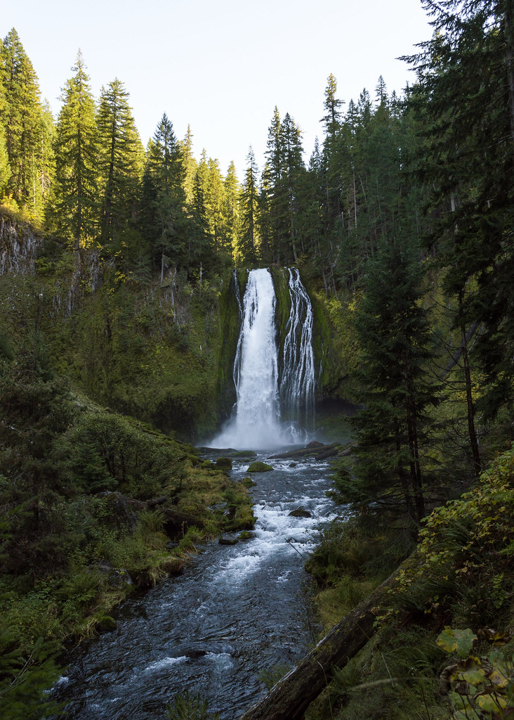
Lemolo Falls is a 165-foot horsetail waterfall on the North Umpqua River in the Umpqua National Forest, Douglas County, Oregon, a few miles downstream of Lemolo Lake. The river slides down a steep rock face in a single wide drop, and a forest trail descends to its base from the end of a rough gravel road.
The falls
The river forms a single horsetail drop about 25 feet wide on average, spreading to about 60 feet at high water, at a pitch of 75 degrees. Topographic mapping lists the drop at 165 feet, while agency trail guides give 102 feet. Lemolo Lake Dam, a few miles upstream, diverts most of the North Umpqua and releases a fixed amount over the falls at all times. That cuts the volume about fivefold on average and up to eightfold at the spring peak.
Getting there
Lemolo Falls Trail 1468 is managed by the Diamond Lake Ranger District. To reach the trailhead from Highway 138, take the Lemolo Lake turnoff between mileposts 72 and 73, head north on Birds Point Road 2610 for 4.3 miles, fork left onto gravel Thorn Prairie Road 3401 for 0.5 mile, then turn right onto rutted Road 840 for 1.5 miles. Low-clearance cars should park at the junction marked with a Lemolo Falls sign; higher-clearance vehicles can continue 0.2 mile on deeply rutted track to the road's end. From there the trail follows an old road bed and descends 1.1 miles to the base, creating a round trip of about 2.2 miles with the climb on the way out. Agency publications rate the base route difficult.
When to go
Because of the diversion, the falls run year-round but at reduced volume for most of it. The river reaches full flow only during snowmelt, when the diversion channels are at capacity.
On site
The base of the falls offers the best viewpoint. A limited view from above is also available from the North Umpqua Trail across the river. The old 0.3-mile connector that forded the river to reach the North Umpqua Trail has been decommissioned and is no longer hikable, so visitors should not try to cross.
History and name
Lemolo is a Chinook Jargon word meaning wild or untamed.
Nearby
Warm Springs Falls is about 1.4 miles away. Clearwater Falls on the Clearwater River and Timpanogas Falls on the Middle Fork Willamette are each about 6.7 miles away. Toketee and Watson Falls lie farther west along Highway 138.
Distances are straight-line.