![[IDAHO-B-0110] Little Salmon River - Little Salmon Falls](https://fallsdiscovery.com/wp-content/uploads/2026/09/6534802347_1d811a409f_b.jpg "[IDAHO-B-0110] Little Salmon River - Little Salmon Falls")
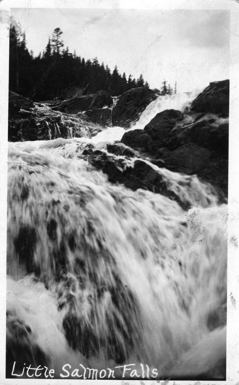
Little Salmon Falls is a waterfall on the Little Salmon River in Adams County, Idaho, north of New Meadows and below Meadows Valley. It forms a long-standing barrier that stops salmon and other sea-run fish from moving farther upstream.
The falls
The falls sit near the mouth of Round Valley Creek, at about 3,774 feet, where the gentle upper river gives way to a steeper reach downstream. Remains of old fish ladders are still in place at the two main barriers. Whether the obstacle is wholly natural or was worsened by road building remains unresolved. No published height exists for this drop.
Getting there
US 95 was built through the narrow river corridor beside the falls in 1922. The falls sit downstream of Smokey Boulder Road, with no established trail to them. Much of the land along the river is privately owned, so check ownership before leaving the road.
History and name
Nez Perce oral traditions recount Chinook salmon once spawning in Meadows Valley above the falls. Rock blasting and ladder building took place in 1929; the Civilian Conservation Corps also blasted three spillways into the rock and added concrete headgates in 1934. Neither effort restored passage, and the river above the falls does not support sea-run fish today. A real-photo postcard from around 1908 shows the falls before the highway was built.
Nearby
Lower Little Salmon Falls is about 0.5 mile downstream. Hazard Creek Falls is about 5.3 miles away and Hazard Falls about 5.7 miles. McCall is about 17.6 miles to the southeast.
Distances are straight-line.
.jpg)