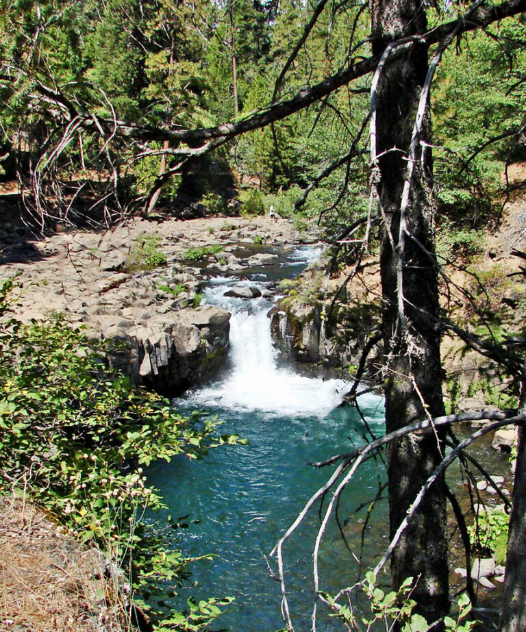
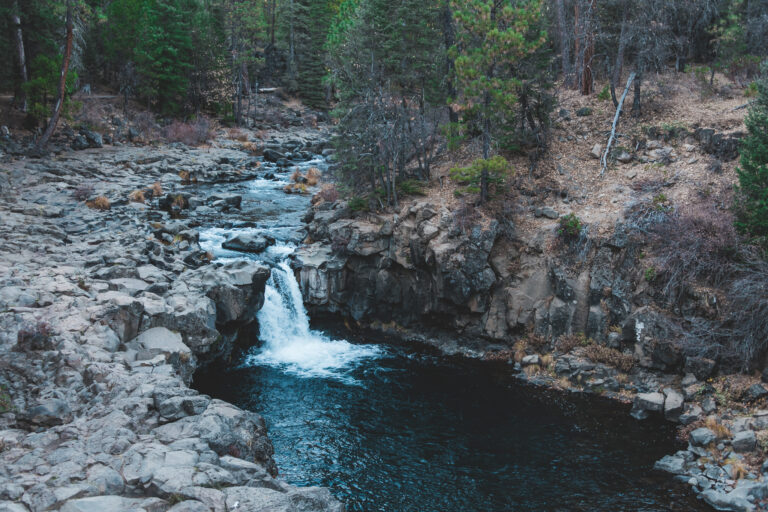
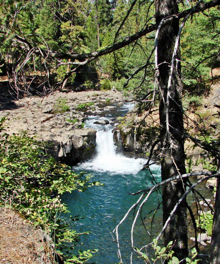
Lower McCloud River Falls is a 12-foot plunging punchbowl on the McCloud River in Siskiyou County, California, about six miles east of the town of McCloud.
The falls
The river drops in a single 12-foot plunge into a punchbowl below.
Getting there
The Forest Service directs visitors from McCloud onto Highway 89 for five miles, then onto McCloud River Loop Road, to the Lower Falls day-use area, where a river trail begins beside the overlook stairs. The day-use area has parking, restrooms, drinking water, picnic tables, grills, and bear-proof bins, with accessible parking and an accessible path to the restroom.
When to go
The picnic area operates from May 1 through November 15. Access roads are subject to a seasonal closure order, so current conditions should be checked before travel.
On site
A scenic view of the falls is available from the picnic area. The day-use fee, swimming and pet rules, and any record of deaths or injuries here are not documented.
History and name
Lower Falls historically marked the upstream limit for salmon on the McCloud River. Indigenous people called it "the place where salmon stop."
Nearby
Upper McCloud River Falls is about 0.8 mile away, and Middle McCloud River Falls also about 0.8 mile. Little Springs Falls is about 3.8 miles away, and Clear Creek Falls about 11.3 miles.
Distances are straight-line.