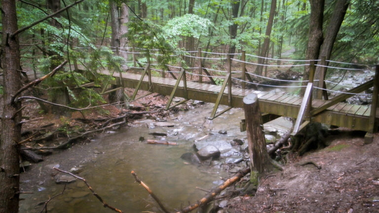
Lower Plotter Kill Falls is a 45-foot waterfall on the Plotter Kill in Schenectady County, New York, inside the county-run Plotter Kill Preserve in the town of Rotterdam. It is the lower of the preserve's two falls on the main creek, reached by a short walk from a trailhead lot on Route 159.
The falls
The Plotter Kill, a tributary of the Mohawk River, drops over a single ledge here in its gorge; a lidar survey puts the drop at about 45 feet. The lower falls are separate from the upper falls on the same creek and from the falls on Rynex Creek nearby.
Getting there
The preserve is managed by Schenectady County and is open from dawn to dusk. The easiest approach is from the parking area on Route 159, where the blue trail leads about half a mile to the overlooks of the upper and lower falls. The preserve has other entrances on Coplon Road and Lower Gregg Road.
When to go
The county recommends spring, when the creek runs high, and winter, when the falls freeze.
On site
The falls are seen from overlooks along the marked trails. The terrain is rugged with steep slopes, and the county asks visitors to stay on the marked trails and away from the ledges at the falls. In May 2015 a teenager died after falling down a 50-foot embankment in the preserve. Dogs must be kept on a leash, and overnight camping and fires are not allowed.
History and name
The name comes from the Dutch platte, meaning flat, and kill, meaning creek, a reference to the creek's ledges. Meltwater carved the gorge about 10,000 years ago.
Nearby
Rynex Creek Falls is about 0.1 mile away and Plotter Kill Falls about 0.2 mile. Step Falls, also on the Plotter Kill, is about 1.4 miles away.
Distances are straight-line.