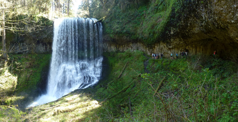
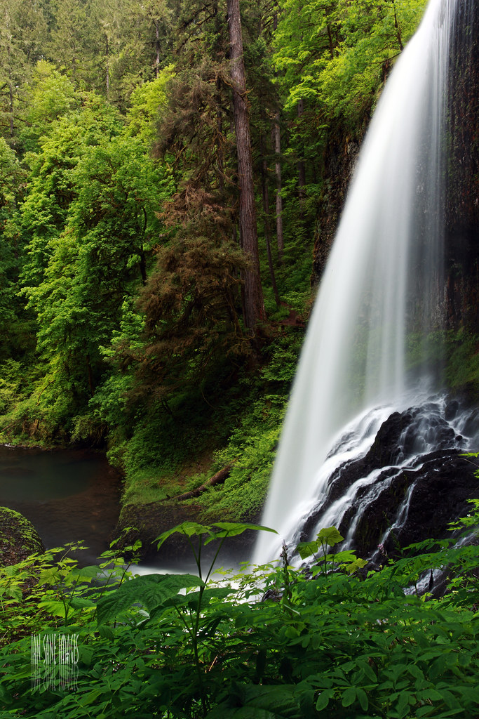
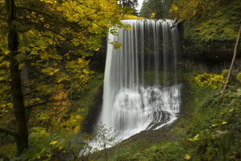
Middle North Falls is a 106-foot curtain waterfall on North Silver Creek in Silver Falls State Park, Marion County, Oregon. It sits on the Canyon Trail, the route of the park's Trail of Ten Falls, and a dead-end spur leads behind the falling water.
The falls
North Silver Creek drops 106 feet in a single vertical leap. During the wet season, the flow forms a broad curtain averaging 50 feet wide and reaching 70 feet; in summer the cascade narrows to a ribbon about 5 feet wide. Flow averages about 100 cubic feet per second for eight months of the year and 15 cubic feet per second during the dry months. Official park publications also document the height at 106 feet.
Getting there
The shortest approach starts at the Winter Falls trailhead. The Winter Creek trail passes Winter Falls and continues half a mile to the Canyon Trail junction; bear left for another quarter mile to the top of Middle North Falls. A trailside view opens about 500 feet past the falls. Middle North Falls is also accessible along the full Trail of Ten Falls, a 7.2-mile loop with 800 feet of gain.
Parking in Silver Falls State Park costs $10 per vehicle for Oregon residents and $12 for nonresidents in 2026; Oregon state park annual passes and camping receipts are accepted.
When to go
The creek flows all year. November through May provides the strongest volume, when the falls spread across their full curtain.
On site
The spur trail behind the falls brings hikers close to the falling water. The route has no guardrails and may close in winter when iced over. Park regulations prohibit entering the water within 300 feet above and below the falls, and pets are barred from the Canyon and Winter trails.
History and name
June Drake, the photographer who named the park's waterfalls in the late 1880s, called it Middle North Falls for its position downstream of North Falls.
Nearby
Drake Falls is about 0.2 mile away and Lower North Falls 0.3 mile away, both on North Silver Creek. Double Falls on Hullt Creek and Winter Falls on Winter Creek are each 0.3 mile away and share the same trail network.
Distances are straight-line.