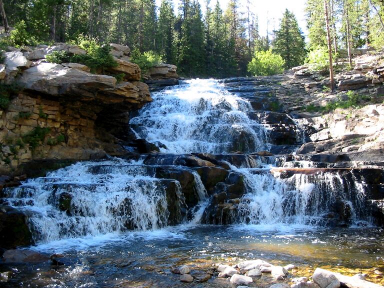
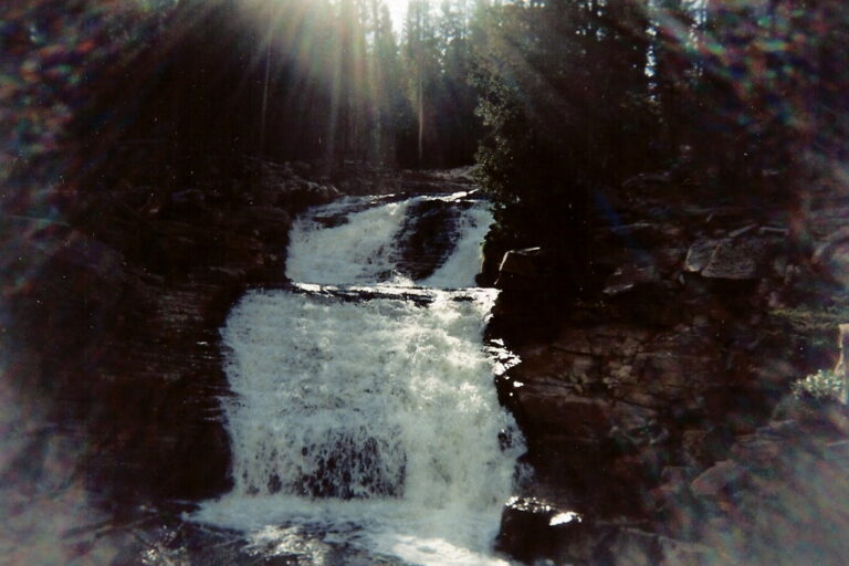
Provo River Falls is a 100-foot run of tiered cascades on the Provo River in Wasatch County, Utah, next to the Mirror Lake Highway in the Uinta-Wasatch-Cache National Forest. The river steps down through a string of short drops that can be seen from a roadside overlook with little walking.
The falls
Lidar data counts at least seven distinct steps that together drop about 100 feet over roughly 700 feet of river, the tallest about 15 feet. Older surveys listed a tallest drop of 35 feet, and one trail account describes three main falls with cascades between them. Upstream, the river drains glaciated country below Bald Mountain and crosses layered bedrock here.
Getting there
From Kamas, drive about 24 miles east on paved UT-150, the Mirror Lake Highway, to milepost 23.9; the signed parking area with a pit toilet is on the west side of the road. The first fall is visible from the lot, and a path follows the river past the other drops. The walk is 0.2 miles out and back with 36 feet of gain, rated moderate. The area has been labeled fee-required, though the Forest Service described the overlook as free in 2016 testimony. The highway closes in winter; UDOT reopened it for the season on May 22, 2026.
When to go
The highway gate is typically open from Memorial Day until late October, and July through September is the recommended season. Flow depends on snowmelt: photos from 2019 show heavy water in late June and only narrow ribbons during the September 2018 drought.
On site
Several viewing spots line the stream, and the stop is family- and dog-friendly.
History and name
The river takes its name from the trapper Etienne Provost, who lived from 1785 to 1850.
Nearby
Smooth Rock Falls, also on the Provo River, and Spencer Falls are each about 3.8 miles away, and Duchesne Falls is about 4.1 miles. Kamas is the nearest town.
Distances are straight-line.