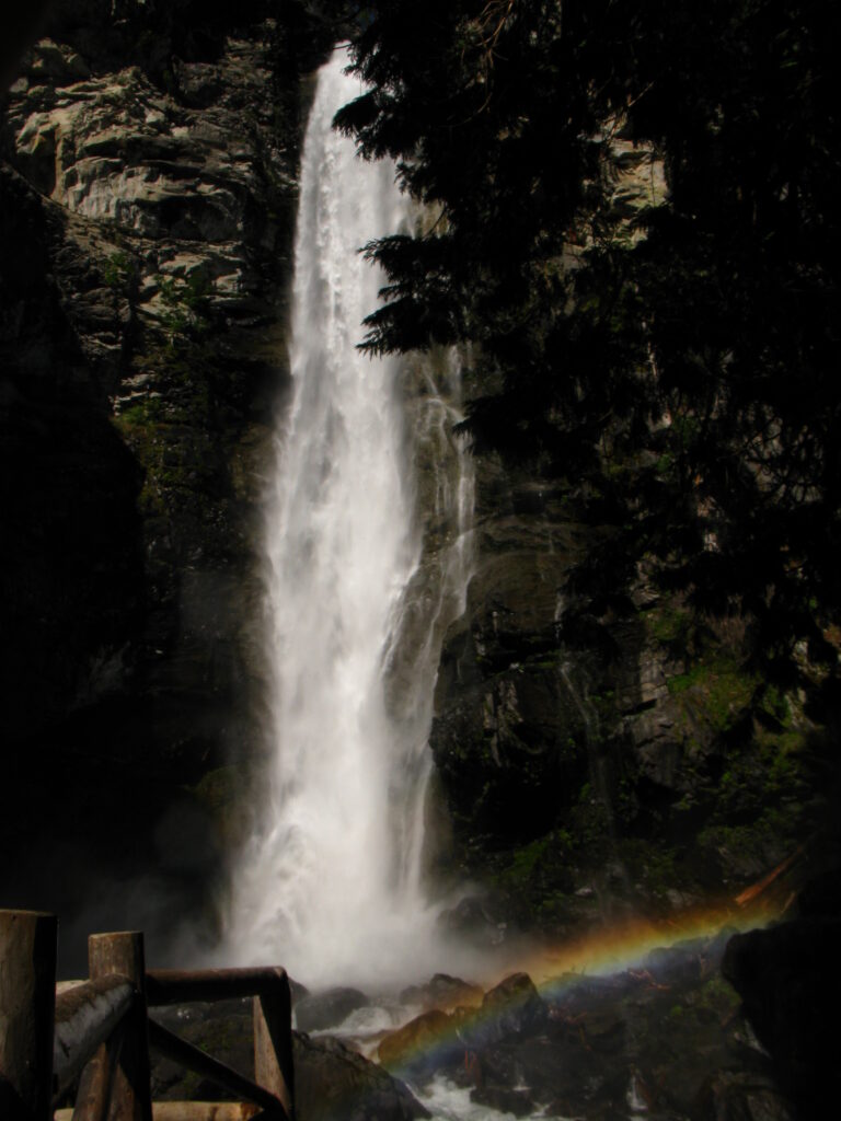
Rainbow Falls is a 495-foot tiered waterfall on Rainbow Creek near Stehekin in Chelan County, Washington, inside Lake Chelan National Recreation Area. No road reaches Stehekin, so the trip starts with a ferry or floatplane up Lake Chelan, followed by a short ride up the valley to viewpoints a few steps from the road.
The falls
Rainbow Creek leaves a hanging valley above the Stehekin River where glacial carving cut the main valley deeper than the tributary glacier, leaving boulders and gravel that channeled the stream over the edge into free fall. Lidar measurements count six tiers totaling 495 feet, with a main plunge of 320 feet. Only the last three tiers, measuring 320, 25 and 30 feet, are visible from the trails. Other records list 312 feet for the main drop, or report 392 feet across two drops.
Getting there
Stehekin is reached by the Lake Chelan ferry or by seaplane. The falls are about 3.5 miles from Stehekin Landing along Stehekin Valley Road, where two viewpoints lie a short walk from a parking area. A local tour leaves the landing when the morning ferry arrives, around 11 a.m. Valley shuttles run through September 30, 2026, with service planned for October 1-15; all departures require reservations, with fares of $10 for adults, $5 for children 2-11 and $10 for a bike. As of September 20, 2026, the Sisi Fire has closed the road beyond Stehekin Valley Ranch.
December 2025 flooding put the North Cascades Lodge at Stehekin out of service for 2026, leaving the landing without lodging, food, fuel or showers from the lodge. Ferry, shuttle and waterfall trips continue, and Lakeview and Purple Point campgrounds remain free on a first-come basis.
When to go
The creek flows all year but is biggest during spring runoff, usually in May and June, with volume falling off as the season goes on. On sunny days the spray makes a rainbow.
On site
The lower viewpoint is wheelchair accessible. The site has picnic tables, benches, accessible vault toilets, trash cans and interpretive signs.
History and name
The name Rainbow Falls was entered in the federal Geographic Names Information System on September 10, 1979.
Nearby
Boulder Creek Falls is about 0.8 mile away, Devore Creek Falls about 2.4 miles and Company Creek Falls about 2.6 miles.
Distances are straight-line.