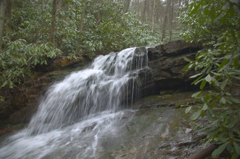
Red Fork Falls is a 115-foot tiered waterfall on Red Fork, high on Unaka Mountain in the Cherokee National Forest of Unicoi County, Tennessee. It is short to reach but hard to approach, with a steep, slick scramble over roots and rock at the end.
The falls
The World Waterfall Database, using lidar data, estimates at least 115 feet of cumulative drop over three to five distinct tiers of steep cascades. The largest single part is a 65-foot veiling horsetail. Older surveys put it at 160 feet; other published figures range from 60 to 80 feet. The falls face roughly north-northwest.
Getting there
Unicoi County's tourism site directs visitors from the Unicoi exit of I-26 to Route 107, then about 7.6 miles up the mountain to a right turn on Unaka Mountain Road, also called Red Fork Road, and 0.7 mile to a gravel road; the path starts about 100 feet ahead. The pull-off is at an old four-wheeler track marked by a tree with red spray paint.
The route is an unofficial, unmaintained path in the national forest. AllTrails puts it at 0.6 mile round trip with 164 feet of gain and rates it hard. It drops down the old track, crosses the creek and ends in a steep climb that takes hands on trees, roots and rock.
When to go
Autumn color and rhododendron bloom are recommended for photographs; because the falls face north, they sit in shade through the winter months. A user report on Trails Offroad in June 2026 described Unaka Mountain Road as open.
On site
The ground beside the falls is very steep and the rock is slick. Repeated rescue calls have been made here, and young children and dogs are discouraged. Sturdy footwear is essential.
History and name
The Tennessee Department of Conservation photographed Red Fork Falls on Unaka Mountain near Erwin on May 9, 1947.
Nearby
Dick Creek Falls is about 3.7 miles away, Rock Creek Falls about 4.4 miles and Lower Rock Creek Falls about 4.6 miles.
Distances are straight-line.