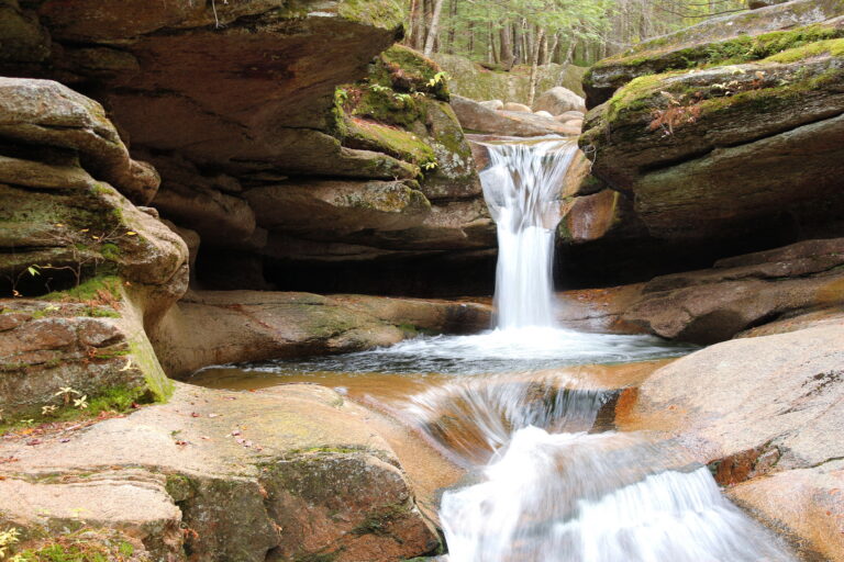
Sabbaday Falls is a 38-foot tiered waterfall on Sabbaday Brook in Grafton County, New Hampshire.
The falls
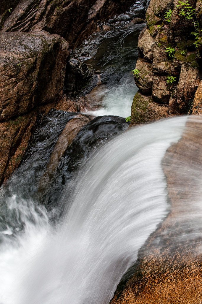
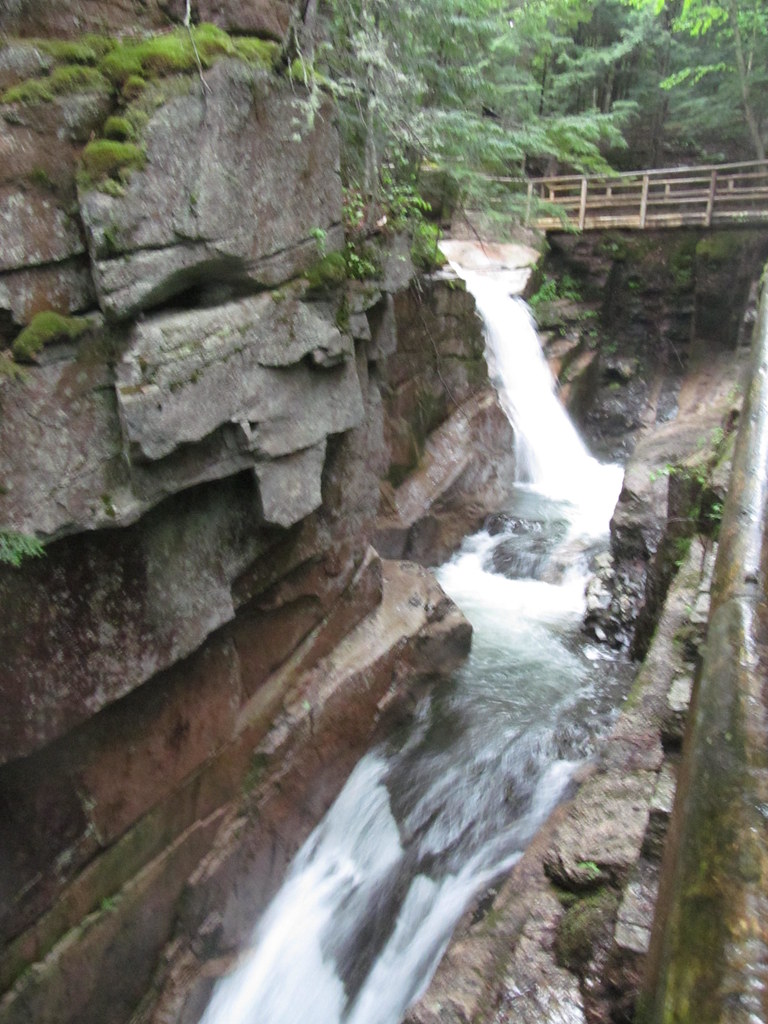
The brook descends through a narrow granite gorge in three steps of 9, 19 and 10 feet, a cumulative drop surveyed in person at 38 feet. Runoff drains the slopes around Mount Tripyramid, and catwalks, bridges and viewpoints overlook the gorge.
Getting there
The trailhead is the signed picnic ground on NH 112, the Kancamagus Highway, in White Mountain National Forest. A crushed-gravel path leads 0.70 mile round trip to the falls and is rated easy, though sections exceed a 15 percent grade and the gorge-side loop has stairs; the main viewpoint is not fully accessible. Parking costs $5 per vehicle for day use.
When to go
Flow is generally adequate year-round, though summer reduces it, and the trail draws heavy crowds in peak season.
On site
Rails, stairs, picnic space and toilets sit near the parking area. Swimming is prohibited, and dogs are allowed on a leash. On August 19, 2026, New Hampshire Fish and Game rescuers carried out a hiker with a head injury found about half a mile from the trailhead.
History and name
In 1887, Moses Sweetser proposed calling the falls Churches Falls, after painter Frederick Church. The name Sabbaday instead comes from road workers who stopped near the brook on a Sabbath as winter approached.
Nearby
Black Cascade is about 3.8 miles away, and Green Cascade about 3.9 miles. The Flume is about 4 miles away, and Norway Rapids about 4.8 miles.
Distances are straight-line.