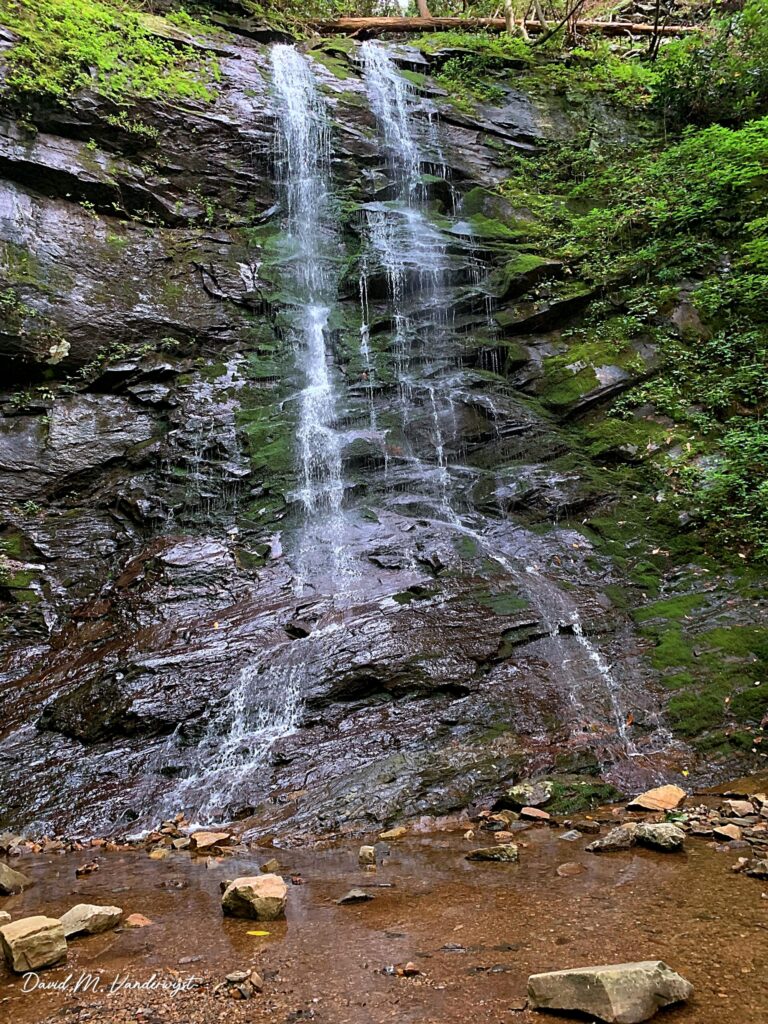
Sill Branch Falls is a 100-foot horsetail waterfall on North Fork Sill Branch in the Cherokee National Forest, Unicoi County, Tennessee.
The falls
Lidar data puts the single-drop horsetail at about 100 feet, well above an older 40-foot figure. A shorter, 20-foot cascade is visible at the base, separate from the full lidar-measured drop.
Getting there
The route follows Trail 115 from Clark Creek Road (Forest Service Road 25) in the Cherokee National Forest. The out-and-back hike is 1.1 miles round trip with 272 feet of gain and rated easy, from a small free trailhead with no restroom or potable water on a gravel approach road. An earlier survey placed the base about 0.6 mile one way from the trailhead, with a junction at about 0.5 mile where hikers stay left onto the Sill Branch North Trail.
When to go
Flow is strongest in spring and fall. The trail is open year-round; storm damage from Helene had been cleared by February 2025, with mud and a patch of snow remaining then.
On site
The route follows the branch, crosses water, and finishes with a short, steep pitch to the base and pool. Dogs are allowed on leash and the route is kid-friendly, per a trail-listing site rather than an official rule.
Nearby
Upper Sill Branch Falls is about 0.5 mile away, Simmons Branch Falls about 1.3 miles, East Simmons Branch Falls about 1.5 miles, and Delsatch Falls about 2.4 miles.
Distances are straight-line.