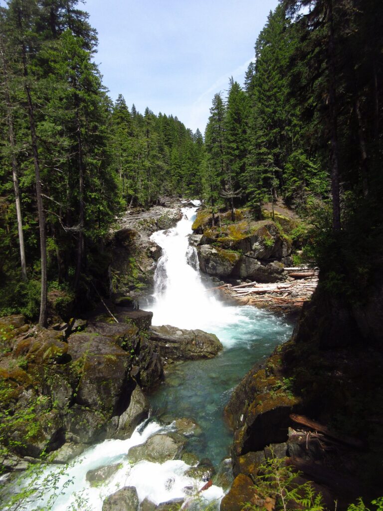
Silver Falls is a 95-foot tiered plunge waterfall on the Ohanapecosh River in the southeast corner of Mount Rainier National Park, Lewis County, Washington. The river drops through four steps into a blue pool below a high footbridge.
The falls
The river steps down a series of progressively larger drops, growing more flume-like, and ending in a 40-foot plunge into a large blue pool. Park Service descriptions record the final drop as 60 feet, falling into an amphitheater of old-growth forest. Below the falls the river enters a narrow gorge. The Ohanapecosh is fed by glaciers and snowfields and runs all year.
Getting there
The usual 2.7-mile loop from Ohanapecosh Campground is not available in 2026: the campground trailhead is closed for construction, and the trail can only be hiked out and back. The park's 2026 trail sheet lists the Silver Falls Trail from the Grove of the Patriarchs parking lot at 1 mile round trip with 300 feet of elevation change, about 45 minutes, rated moderate. The trailhead is just northwest of the Stevens Canyon Entrance Station, across the road from the Grove of the Patriarchs trailhead; the Grove itself has been closed since a 2021 flood damaged its suspension bridge. A second approach follows the Cowlitz Divide Trail from Stevens Canyon Road, 0.68 mile with 300 feet of elevation change to the falls. Check the official trail updates for current trailhead status.
Mount Rainier admission is $30 per vehicle for seven days, paid by card, and no timed-entry reservation is required in 2026.
When to go
The glacier-fed river flows all year, and the falls are at their loudest when the water is high.
On site
Two main viewpoints overlook the falls: one just east of the footbridge over the gorge and one on the west side of the amphitheater beside the cascade. The rocks along the river are slippery and the water is turbulent and dangerously cold; stay behind the barriers, keep children close, and don't swim near the falls. People have died around Silver Falls. Pets, bicycles and fires are not allowed on the trail.
History and name
Early campers at nearby Ohanapecosh Hot Springs named the falls for the clear, silvery-blue water of the river.
Nearby
Falls Creek Falls is about 0.5 mile away, Laughingwater Falls about 1.5 miles, and Olallie Creek Falls about 1.6 miles. The Laughingwater Creek and Cowlitz Divide trails both start close to the Silver Falls Trail.
Distances are straight-line.