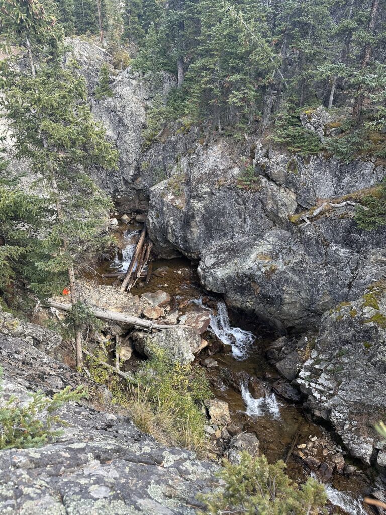
Snake River Falls is a 30-foot waterfall on the North Fork Snake River in Summit County, Colorado, west of Arapahoe Basin. It is a small, little-documented fall, still unconfirmed in exact position, size and form.
The falls
The World Waterfall Database puts the falls at a single drop of about 30 feet, an estimate taken from lidar elevation data; older measurements listed 20 feet. The stream forms a horsetail, where the water keeps some contact with the rock as it falls. The stream is the North Fork of the Snake River, which the database records simply as the Snake River. This is the Snake River of Summit County, Colorado, not the Snake River of Idaho and Wyoming.
Getting there
Trail access, parking and land ownership aren't documented. The falls appear on the USGS Loveland Pass topographic map.
When to go
Like other streams in the Southern Rockies, the North Fork is fed by snowmelt, so flow is strongest in spring.
On site
The falls sit at about 10,670 feet, in the spruce-fir and lodgepole forest of the Southern Rockies.
Nearby
Falls Gulch Falls is about 4.7 miles away, Argentine Falls about 6 miles and Berthoud Falls about 9.9 miles. Keystone, the nearest town, is about 6.3 miles to the southwest.
Distances are straight-line.