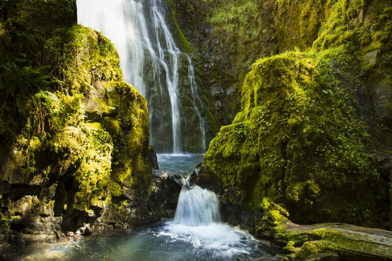
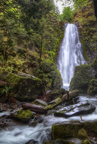
Susan Creek Falls is a 35-foot veil waterfall on Susan Creek in Douglas County, Oregon, in the North Umpqua River corridor. A Bureau of Land Management trail leads to it from Highway 138, across the road from the Susan Creek day-use area.
The falls
Susan Creek pours in a single drop over moss-covered volcanic cliffs, about 10 feet wide on average, with picnic tables below it. The surveyed height is 35 feet; the BLM gives 50 feet. The falls are pretty but modest next to the larger falls farther up the North Umpqua corridor.
Getting there
The Susan Creek day-use area is about 29 miles east of Roseburg on Highway 138, in the North Umpqua Wild and Scenic River area, 12 miles east of Glide. Coming from Roseburg, the picnic area and parking are on the right side of the highway and the trailhead is on the left. The trail runs 0.8 mile to the falls, about 1.6 miles round trip, and is very easy and well graded. Day use is free. The Emerald Trail links the day-use area with Susan Creek Campground, half a mile upstream.
The 2020 Archie Creek Fire heavily damaged the trail. The BLM lists the trail as open but not fully restored, and in April 2026 it issued a decision on restoration and construction work at the trailhead and day-use area.
When to go
Flow is strongest in winter and spring; the low-water estimate is zero, so the creek can nearly dry up.
On site
Beyond the falls the trail continues 0.75 mile to the pedestrian Tioga Bridge over the North Umpqua. That upper section is strenuous and has abundant poison oak. Fishing on this stretch of the river is fly-fishing only, and the day-use area doubles as a raft put-in and take-out for the Class III North Umpqua.
Nearby
Mile 44 Falls is about 1.6 miles away, Upper Susan Creek Falls on the same creek about 2.1 miles, and Fall Creek Falls about 3.5 miles. Toketee and Lemolo Falls lie much farther east along Highway 138.
Distances are straight-line.