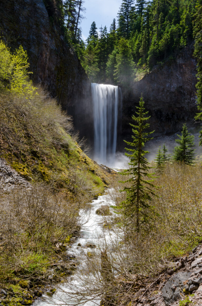
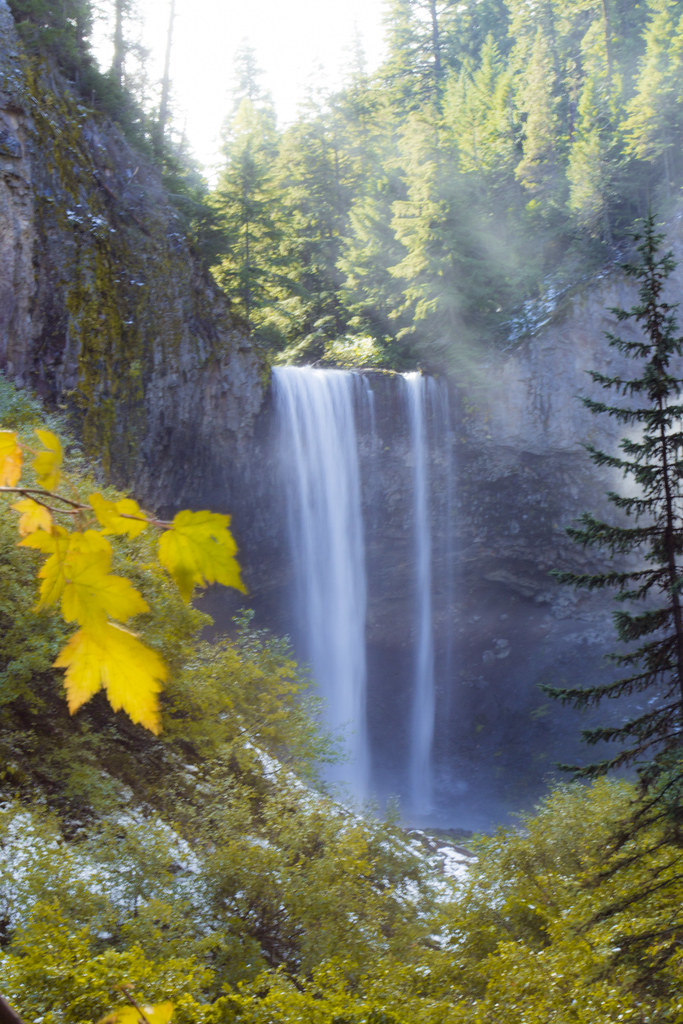
Tamanawas Falls is a 111-foot waterfall on Cold Springs Creek in Mt. Hood National Forest, Hood River County, Oregon, where the creek pours in a single sheer curtain over an undercut cliff of volcanic rock. Springs and snowfields on Mount Hood feed the creek, and a forest trail from OR 35 leads to a viewpoint and on to the base.
The falls
The World Waterfall Database, which surveyed the falls in person, describes a vertical curtain about 40 feet wide, spreading to 50 feet at high water, set in an amphitheater whose base is deeply undercut. Earlier surveys listed 109 feet, while other guides round it to about 100 feet.
Getting there
The trailhead is on OR 35 just north of Sherwood Campground. The route follows half a mile of East Fork Trail #650, then Tamanawas Falls Trail #650A, climbing between 3,000 and 3,400 feet. The viewing area sits about 1.75 miles from the trailhead, with another 0.1 mile to the base, on a trail rated moderate to more difficult. A Northwest Forest Pass is required year-round: $5 a day or $30 a year. The trail was closed during the 2026 Grasshopper Fire and reopened on September 4, 2026.
When to go
The trail is usually free of snow from May to October. The falls flow all year, and in winter seeping water builds large icicles across the cliff.
On site
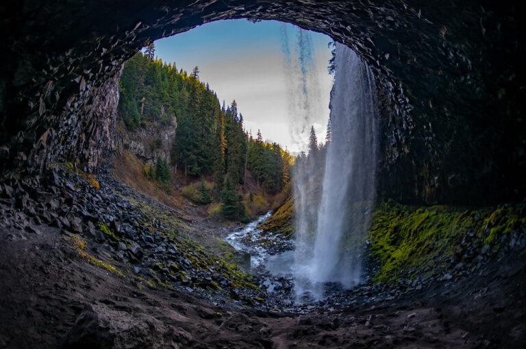
From the viewing area a short path continues to the base. An established boot path leads behind the falls into the undercut, though it isn't a built trail. Visitors should stay on established trails and keep pets under control.
History and name
The falls were once called Gifford's Falls, after photographer Benjamin A. Gifford, who photographed them in 1909. The name Tamanawas, from a Chinook word for a friendly or guardian spirit, was adopted in 1971.
Nearby
Lower South Fork Polallie Creek Falls is about 1.3 miles away, Lower Polallie Creek Falls about 1.4 miles and Tilly Jane Falls about 2 miles.
Distances are straight-line.