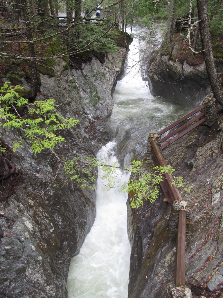
Texas Falls is a 31-foot tiered waterfall on Hancock Brook in the Green Mountain National Forest, Addison County, Vermont, where the brook drops through a pothole-scoured gorge at the Texas Falls Recreation Area. Overlooks and a bridge sit right beside the parking lot, and a short nature loop circles the site.
The falls
Three plunges of 12, 9 and 10 feet drop into potholes and pools; earlier surveys listed four drops with a tallest of 10 feet. The USFS calls the stream Hancock Branch and describes about 140 feet of cascades in all. The gorge and its potholes were carved by glacial meltwater erosion that began about 12,000 years ago.
Getting there
From VT 100, drive VT 125 west for 3.1 miles and turn north on Forest Road 39. The observation-site parking is 0.5 mile up the road, with the bridge and overlooks next to it, and the picnic-area parking at 0.7 mile. The Texas Falls nature trail is an easy 1.2-mile loop with about 70 feet of elevation change. The picnic pavilion is free when not reserved and can be booked for a fee through Recreation.gov.
When to go
The flow runs year-round. In winter the road is plowed only as far as the closed gate.
On site
Swimming is prohibited; serious injuries and deaths in the gorge led to the ban. Facilities include benches, accessible vault toilets and a picnic area, but there is no drinking water, and visitors must carry out their trash.
History and name
A 2008 flood destroyed the old bridge over the gorge, and a higher replacement opened in 2010. A water-powered mill once stood here. Where the name came from is unknown: a 2021 investigation found it on maps from around 1850 and several competing theories, none proven.
Nearby
Bailey Falls is about 2.2 miles away, Falls Brook Falls about 4.1 miles, Bread Loaf Falls about 5.2 miles and Moss Glen Falls on Deer Hollow Brook about 6.3 miles.
Distances are straight-line.