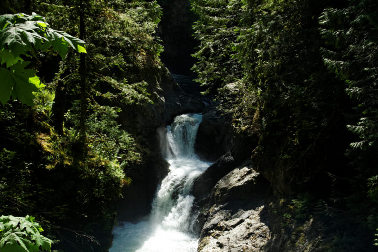
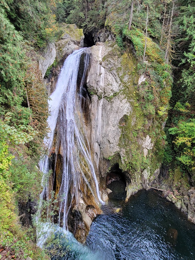
Twin Falls is a 565-foot segmented horsetail waterfall on Lookout Creek on the north side of Mount Baker in Whatcom County, Washington. Despite its size, it is hidden from Glacier Creek Road, and there is no trail to it.
The falls
The World Waterfall Database, which surveyed the falls in person, counts seven drops with a total of 565 feet. Below the uppermost tier Lookout Creek splits into two channels separated by forest: the northern one zigzags down about 190 feet, and the southern one veils about 275 feet. The upper tiers can't be seen from below.
Getting there
The approach: head east on the Mt. Baker Highway to Glacier, turn right onto Glacier Creek Road, and park where the road crosses the creek for the third time. From there it is a short bushwhack upstream through thick devil's club, so wear gloves. The Forest Service reopened Glacier Creek Road on August 20, 2026, after washout repairs.
When to go
April to July is the best flow. The creek depends on snowmelt, and the southern segment can dry up entirely later in the season.
On site
The two segments are only about 100 feet apart, but trees block any view of both at once. Reaching the right-hand fall means climbing a 20-foot lower tier, and the ground below the left-hand fall is steep and bouldery.
History and name
The name comes from the side-by-side segments, and it already appears on a 1912 map of the Mount Baker area. The old Glacier–Mount Baker Trail once crossed Lookout Creek near the base.
Nearby
Grouse Butte Falls is about 1.7 miles away, Clearwater Falls about 1.8 miles and Skyline Falls about 1.9 miles.
Distances are straight-line.