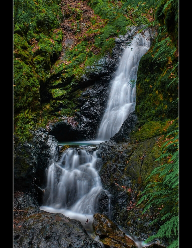
Basin Falls is a 25-foot horsetail waterfall in Uvas Canyon County Park, Santa Clara County, California, reached on the park's Waterfall Loop.
The falls
Lidar indicates a drop of about 25 feet; an older survey put it at 20 feet. The stream that feeds it is not named in the available records.
Getting there
Santa Clara County Parks manages Uvas Canyon County Park at 8515 Croy Road, Morgan Hill. Basin Falls sits on the mile-long Waterfall Loop, off a short spur, on hiking-only trails where bicycles and horses are not allowed. The park is open year-round from 8 a.m. to sunset, trails run sunrise to sunset, and the entrance gate locks at sunset. A vehicle fee is collected, and weekend or holiday day-use reservations may be required during peak periods.
When to go
Cool, wet winters bring the canyon's strongest runoff, while warm, dry summers reduce the intermittent streams, so a visit after winter rain gives the better chance of flow. Uvas Creek Trail crossings can become impassable during flooding.
On site
Swimming is prohibited in every Santa Clara County park, and Basin Falls is no exception. Dogs must be on leashes no longer than 6 feet, and collecting plants or wildlife is not allowed. Rattlesnakes and seasonal flooding are documented hazards in the canyon.
History and name
Basin Falls is treated as the official name. Uvas Canyon, Uvas Creek and the historic Rancho Las Uvas were all named for the wild grapes once abundant here; uva is Spanish for grape.
Nearby
Upper Falls on Swanson Creek is about 0.2 mile away, and Upper Black Rock Falls and Black Rock Falls about 0.3 mile. Uvas Falls, on Uvas Creek, is about 0.9 mile away.
Distances are straight-line.