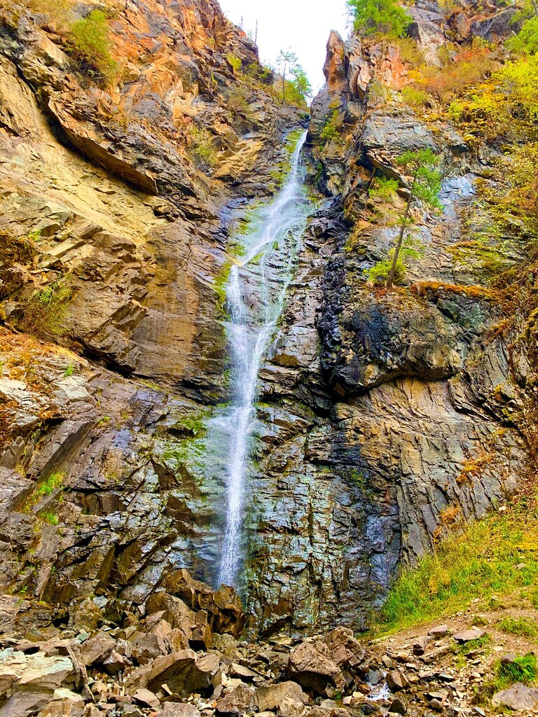
Copper Falls is a 155-foot horsetail waterfall on Copper Creek in Boundary County, Idaho, in the Idaho Panhandle National Forests just south of the Canadian border. A short loop trail with interpretive signs leads from the trailhead to a viewing platform close enough to feel the mist.
The falls
Copper Creek pours in a single narrow drop over a rock ledge into a pool below. Lidar data estimates the drop at about 155 feet. The creek cuts through ancient Precambrian Belt rocks before flowing on to the Moyie River.
Getting there
Drive 33 miles north of Bonners Ferry on US 95, almost to the Canadian border. After the Moyie River bridge, turn right onto Forest Road 2517 and follow it 2.3 miles, past Copper Creek campground, to the trailhead. The trailhead has an outhouse and a small picnic area. A viewing platform sits about half a mile from the trailhead, and the full loop measures 1.4 miles with about 150 feet of gain. No entrance fee is listed.
When to go
Late spring runoff is the prime time to see the falls. In winter the falls build ice formations and draw ice climbers, but reaching them depends on road conditions. In December 2025 blown-down trees blocked the route, but by May 2026 the road and trail were in good shape.
On site
The loop is a self-guided nature walk that is family and dog friendly. The overlook sits close to the falls, and owls can sometimes be heard calling from the trees overhead.
History and name
The Forest Service designated a 40-acre Copper Falls geological area on September 17, 1987, to protect the site's geologic and historic interest.
Nearby
Feist Creek Falls is about 4.4 miles away, Skin Creek Falls about 13.6 miles and Moyie Falls, on the Moyie River, about 16.6 miles. Bonners Ferry, the nearest town, is about 20.9 miles to the south.
Distances are straight-line.