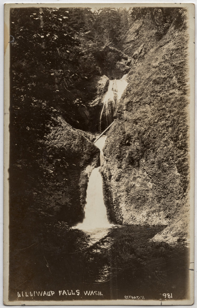
Lilliwaup Falls is a 142-foot tiered horsetail waterfall on Lilliwaup Creek in Mason County, Washington, just above tidewater about half a mile from Hood Canal. The falls sit on private land and are closed to the public.
The falls
The World Waterfall Database lists Lilliwaup Creek dropping in four tiers, the tallest about 64 feet. Early in the 20th century a lumber mill operated at the falls, and a crib dam raised the pool between the third and fourth tiers by about 5 feet, partly submerging the lowest tier; the three upper tiers were left as they were. Today a small hydroelectric plant and a private fish hatchery use the site. Because the creek is regulated for power, the falls may not run consistently.
Getting there
Lilliwaup Falls is on privately owned land, posted and closed to general public access. No public trail or viewpoint is documented. The community of Lilliwaup, where Lilliwaup Creek meets Hood Canal, lies on US 101.
When to go
With the site closed and the flow diverted for hydropower, there is no public viewing season. In fall, anglers come to Lilliwaup for the salmon that a nearby hatchery keeps stocked.
On site
Entry without the owner's permission is not allowed.
History and name
Lilliwaup takes its name from a Twana word meaning "cove" or "inlet." In 1890 Joseph O'Neil's Olympic Exploring Expedition started from Lilliwaup, bringing men and supplies up Hood Canal.
Nearby
Upper Lilliwawup Creek, on the same creek, is about 0.1 mile away, Sund Creek Falls about 2 miles and Miller Creek Falls about 2.9 miles.
Distances are straight-line.