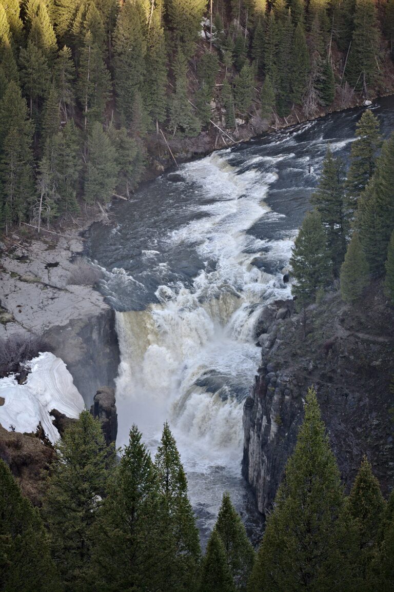
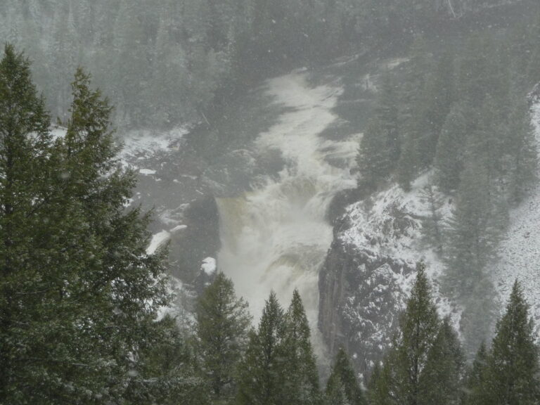
On the Henrys Fork of the Snake River in Caribou-Targhee National Forest, Lower Mesa Falls drops 60 feet across multiple tiers in Fremont County, Idaho. Situated about a mile downriver from Upper Mesa Falls, the cascade is viewed from Grandview Overlook along the Mesa Falls Scenic Byway.
The falls
The Henrys Fork averages about 100 feet wide as it breaks over three drops in a series of tiered plunges. Lidar measurements place the total at about 60 feet. The river maintains average flows of about 1,200 cubic feet per second during the high season and 750 in the low.
Getting there
The overlook sits along the byway about 1 mile south of Upper Mesa Falls, with a short walk connecting the parking area to the viewpoint. The Lower Mesa Falls observation site is designated for day use with no fee, unlike the paid Upper Mesa Falls site. A trail also connects the two waterfalls, offering a 1-mile hike one way between the upper and lower falls.
When to go
The byway is not plowed in winter; after heavy snow, the overlook is reached by snowmobile or skis. Cross-country ski routes on Loops 1 and 2 cover a 5.9-mile round trip leading to a distant view of the lower falls from Grandview.
On site
Walkways at the site accommodate strollers and wheelchairs, and leashed dogs are welcome. Access to the base is not documented. Grandview Campground, open May through September, has picnic tables, toilets and drinking water, with campsites at $20 per day.
History and name
Upper and Lower Mesa Falls were among the primary waterfalls on the river that were never developed for irrigation or hydropower. Visit Idaho calls the lower falls one of the last free-flowing major waterfalls on the Snake River.
Nearby
Upper Mesa Falls, featuring a visitor center at the historic Big Falls Inn, is about 1 mile upstream. Sheep Falls, also on the Henrys Fork, is about 4 miles away, and Robinson Canyon Falls on Robinson Creek is about 12.2 miles off. Ashton, the nearest town, sits about 9.6 miles southwest.
Distances are straight-line.