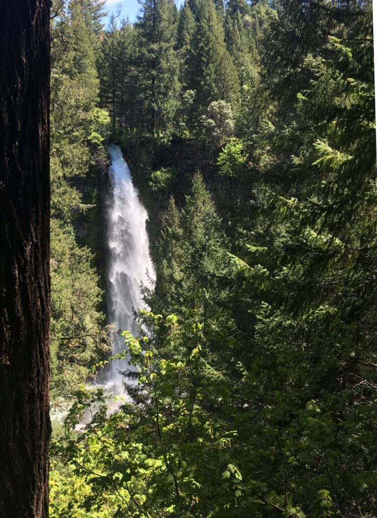
Mill Creek Falls is a 35-foot plunge waterfall on Mill Creek in Coos County, Oregon, seen from a bridge on Johnson Mountain Road outside Powers.
The falls
The water comes down as a plunge, dropping clear of the rock face and landing directly in the South Fork Coquille River, at an elevation of about 268 feet. The 35-foot height comes from an in-person survey rather than an estimate, and a second survey shows the same total. The modest creek may run year-round, though it can dry up during drought.
Getting there
From Powers, Johnson Mountain Road leads to a bridge over Mill Creek, and the falls are visible from the bridge. A September 2026 check of Coos County's road-closures list did not show Johnson Mountain Road, though that does not guarantee the road or the waterfall are open. A trail, dedicated parking area, fee and hours are not documented.
When to go
Winter is the best season for flow.
Nearby
Coos County holds 82 recorded waterfalls, and several sit close by: Myrtle Creek Falls is about 3.4 miles away, Elk Creek Falls about 5 miles, and Coal Creek Falls about 5.3 miles.
Distances are straight-line.