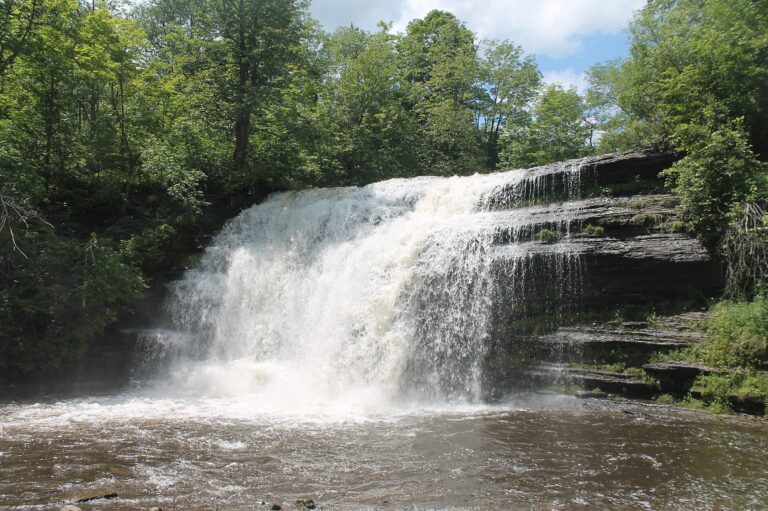
In Pixley Falls State Park, Pixley Falls drops 30 feet along the Lansing Kill in Oneida County, New York, about 5.6 miles south of Boonville. The falls give the 375-acre state park its name and sit a few minutes' walk from the picnic grounds.
The falls
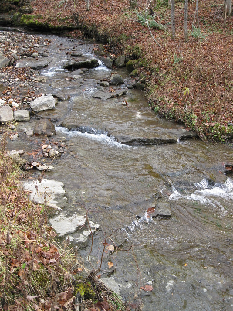
The Lansing Kill runs through steep, wooded hills here and pours over a rock ledge. Lidar data measures the drop at about 30 feet, though older surveys showed 50 feet, a figure still used in state park materials. Small tributary falls enter along the path, and below the main drop the creek slides over a multi-tiered bedrock ledge known as Shelf Falls.
Getting there
The park is at 11430 State Route 46 in Boonville, about 18 miles north of Rome, and is run by New York State Parks. A 0.4-mile out-and-back dirt trail with about 55 feet of climbing leads to the falls, rated easy. It starts unmarked at the south end of the main pavilion, passes a large glacial boulder and a tributary creek, and reaches the viewpoint for the falls after about 0.13 mile. Parking has room for several dozen cars. Vehicle entry fees vary by season; the Empire Pass covers day use.
When to go
The park is open all year, with limited services from November through April, when roads and parking lots may not be plowed. On a February hike after rain and snowmelt, a visitor found the creek running high but had to walk farther because snow blocked the inner lot.
On site
A picnic area and a pavilion sit close to the falls. Up to two pets are allowed, on a leash no longer than 6 feet. The park also offers fishing in its trout stream, hiking and seasonal hunting. Camping ended in 2010, when the park became day-use only.
History and name
The park was established in 1924. One of its trails follows the ruins of the 19th-century Black River Canal.
Nearby
Lansing Kill Falls, on the same stream, and Bakers Falls are each about 2.3 miles away, and Forestport Falls on the Black River is about 7.4 miles.
Distances are straight-line.