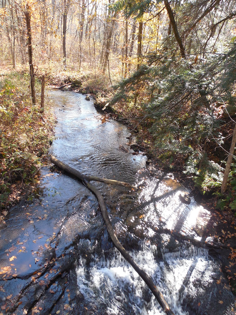
Springfield Falls is a 20-foot horsetail waterfall on Hunters Run in Mercer County, Pennsylvania, inside Pennsylvania Game Commission State Game Lands 284.
The falls
The current World Waterfall Database height is 20 feet, down from the roughly 25 feet recorded earlier. A county guide confirms 20 feet, with the ledge about 40 feet wide; it looks best after sustained or heavy rain. The stream is named Hunters Run on current maps, though a natural-heritage report uses the name Schollard Run instead.
Getting there
The falls lie on State Game Lands 284, reached from Falls Road or Leesburg Station Road; a small parking area sits directly opposite the falls, less than a quarter mile from US 19. The trail to the base is a 0.1-mile out-and-back with 25 feet of gain, a rooty descent rated difficult; a simpler viewpoint from the upper boulders is reached near the start. The gorge sees heavy day use along a beaten path. State game lands remain open to the public, with hunting seasons and other Game Commission rules applying to hikers.
When to go
Best flow comes in spring and right after sustained rain; the trail is usable in all seasons.
On site
Hikers can stay at the upper boulder viewpoint or descend the steep, shaded dirt-and-root path to the base, where mud and slick footing are the main hazards. Swimming in streams on state game lands is prohibited.
History and name
The falls were formerly called Leesburg Falls. Nearby, a brewery occupies the former Seth and Hill iron-furnace site, established in 1830, with furnace and railway remnants and a house dating to 1840.
Nearby
Muddy Creek Falls is about 11.6 miles away, Camp Nazareth Falls about 12.6 miles, and Cascade Falls about 12.7 miles.
Distances are straight-line.