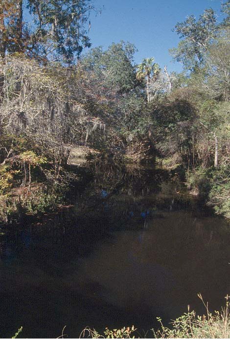
Steinhatchee Falls is a 3-foot ledge waterfall on the Steinhatchee River in Dixie County, Florida, where a broad limestone shelf spans the tea-colored river. The rock step served as a natural river crossing long before it became a park.
The falls
The river spills over a low limestone ledge across its full width. The visible drop depends on water levels: descriptions range from a step of only 12 to 18 inches that disappears at higher flows to four to five feet at low water, and it is no longer counted as a waterfall. When the river rises, the falls become almost invisible and paddlers float straight over them. The river sits on the Dixie–Taylor county line here.
Getting there
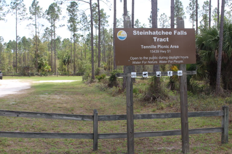
Steinhatchee Falls Park is managed by the Suwannee River Water Management District. From State Road 51, head 1.75 miles south to Steinhatchee Falls Road, turn left to its dead end, and then right to the parking area at the falls. The final 0.8 miles follows a dirt road with potholes and puddles. Entry is free. Hikers, cyclists and riders can also arrive along the Steinhatchee Trail, a 3-mile multi-use route starting from a trailhead on SR 51.
When to go
Low water shows the ledge best; at higher flows the river covers it.
On site
The park has a picnic area, a portable toilet and a canoe and kayak launch, with an 8-mile paddle downstream to the town of Steinhatchee. Fishing and wildlife viewing are allowed. Leashed dogs are welcome. Visitors should watch for undercut river bluffs and unmarked side paths on the short loop near the falls.
History and name
The shelf long served as a natural ford. Indigenous peoples, Spanish explorers, settlers and Civil War troops crossed the river here, and wagon ruts in the rock show at low water. The ruts, cut deep into the limestone above the falls, connect to the Old Bellamy Road.
Nearby
Falling Creek Falls is the closest other listed waterfall, about 53.8 miles away. The town of Steinhatchee is about 5.9 miles southwest.
Distances are straight-line.