Stuyvesant Falls is a 45-foot steep cascade on Kinderhook Creek in Columbia County, New York, dropping through the old mill hamlet that shares its name. Water diverted around the falls still runs a hydroelectric plant at their foot, and the best public view is from the Route 25A bridge.
The falls
Lidar data describes a single steep cascade of about 45 feet that splits around a large island in its lower half into two separate channels. A separate fall, Upper Stuyvesant Falls, lies about 0.2 mile upstream: it measures about 26 feet, with the top 6 feet or so a concrete dam, above a 220-foot run of cascades. Part of the creek is carried underground to the power plant at the base of the lower falls, operated by Albany Engineering Corp.
Getting there
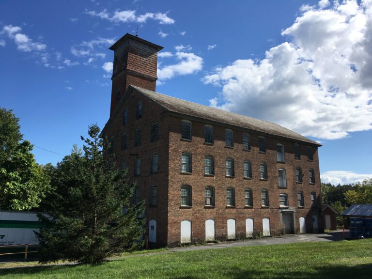
The lower falls are seen from the sidewalk of the bridge that carries County Route 25A (Hudson Avenue) over Kinderhook Creek. The Town of Stuyvesant closed that bridge to vehicles on January 12, 2026, pending a new load rating, with the sidewalk left open. Stuyvesant Falls Park, also called Sandbar Park, is reached from Lindenwald Avenue; a dirt road leads to a lot for about 30 cars and a walk of a few hundred feet. The town's recreation plan for the hydro project lists the bridge, Overlook Park and Sandbar Park as viewpoints and notes no formal public access to the water within the project, with private land around the impoundment and downstream. The old mill on Woods Lane is a private business.
When to go
The creek usually flows year-round, though the face may not be fully covered in dry late summers.
On site
A full view of the lower falls from downstream is not open to the public, so the bridge and Overlook Park are the main vantage points. The site is not recommended for wheelchair users; there are no paved paths. The town's 2025 comprehensive plan proposes a swimming area at Sandbar Park as a future improvement.
History and name
The settlement was first called Glencadia and was renamed for Peter Stuyvesant. Cotton mills, paper mills and gristmills worked the falls from about 1800, and the hydro station first supplied electricity to the region in 1901. A local historical marker calls the lower drop Second Falls and credits Overlook Park to a 1976 Eagle Scout project by Keith Monthie.
Nearby
Rossman Falls, on the same creek, is about 1.7 miles away, Fitting Creek Falls about 3 miles and Coxsackie Creek Falls about 4.2 miles. The village of Kinderhook is about 3.2 miles away.
Distances are straight-line.