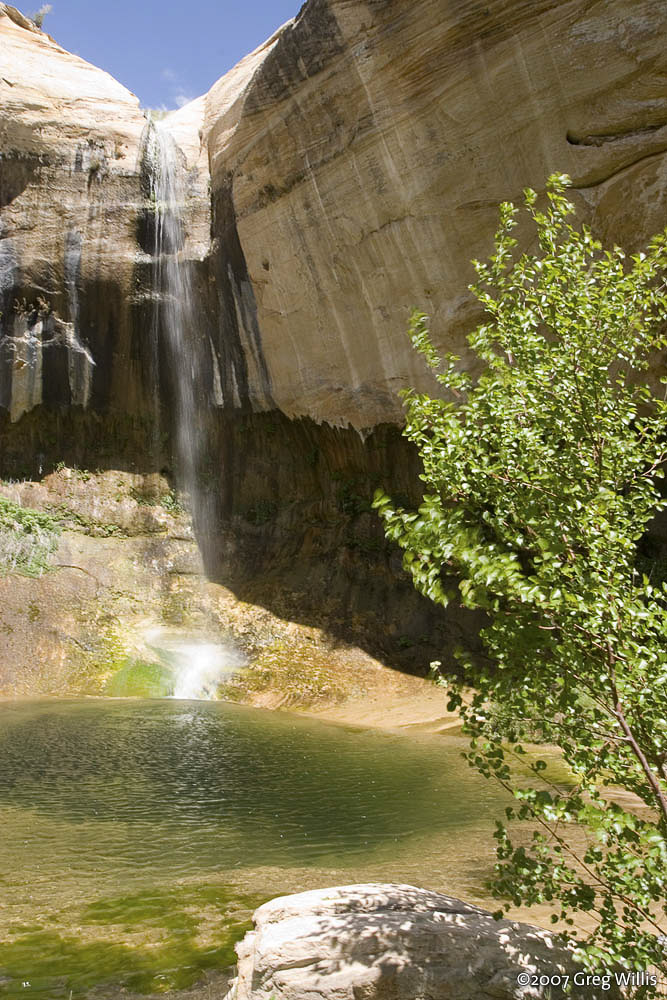
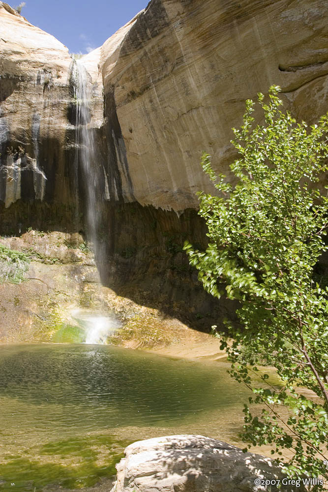
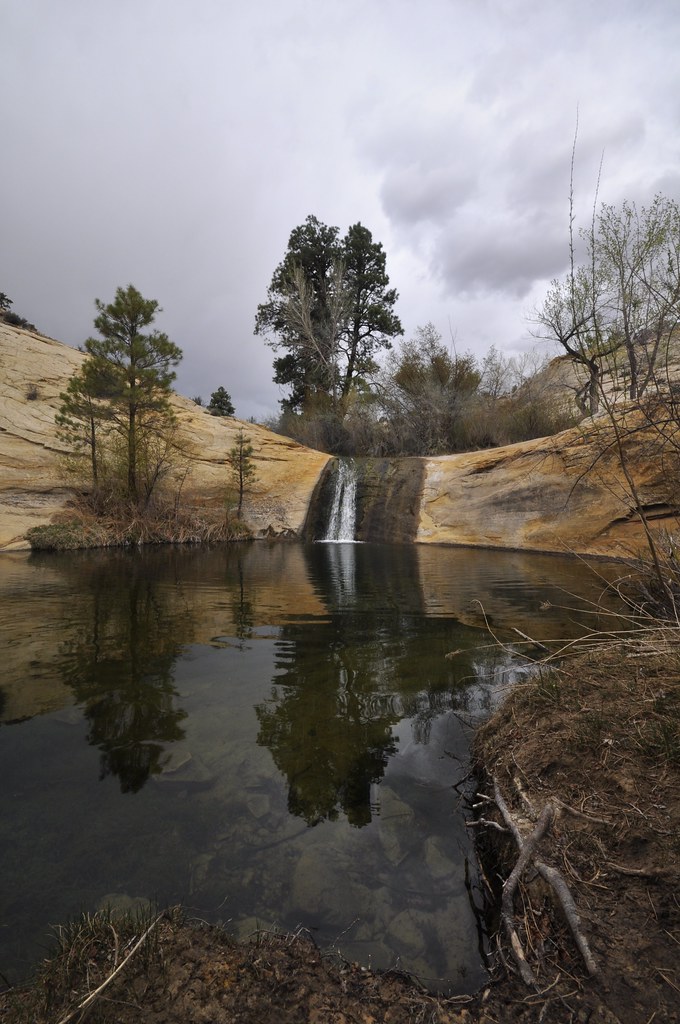
Upper Calf Creek Falls is a waterfall of about 85 feet on Calf Creek in Grand Staircase-Escalante National Monument, Garfield County, Utah. Fed by year-round springs, it plunges into a clear pool in a bushy sandstone alcove, reached by a short but steep descent over slickrock from UT 12.
The falls
The World Waterfall Database lists a single plunge of about 85 feet based on lidar data; earlier surveys listed 88 feet. The water falls into a large pool that is often deep enough for swimming, and the alcove around it holds hanging gardens of ferns and moss. Above the lip, more pools sit in smooth sandstone, and a second pool lies near a tributary junction.
Getting there
The trailhead is at the end of an unmarked dirt spur on the west side of UT 12 just after mile marker 81, about 5.5 miles west of Boulder past the Burr Trail Road junction; the turnoff is easy to miss. The spur runs 0.25 mile to a looped parking area reachable by two-wheel-drive cars. From the trail register, the route drops steeply down white slickrock marked by cairns of dark volcanic pebbles, then crosses sandy benches between sandstone domes. At 0.8 mile it splits: the lower branch follows cairns around a Navajo Sandstone dome to the base, and the upper branch reaches the lip of the falls 0.25 mile farther.
The 2.2-mile round trip descends from about 6,500 to 5,900 feet, takes 1 to 1.5 hours, and requires no fee or permit for a day hike. Some trail descriptions rate it moderate, while others call it hard because of Class 2 friction pitches just below the rim.
When to go
Calf Creek is spring-fed and flows all year. Recommended seasons are April to early June and September to October, though summer is also suggested, when the water and shade are most welcome. The upper falls see fewer visitors than the lower falls.
On site
The base pool is deep enough for swimming, with a marshy area south of the falls providing pockets of shade. Flash floods can sweep Calf Creek canyon, so check the forecast before descending. Treat creek water or bring your own. The lower branch passes thick vegetation with thorns and poison sumac. Dogs are allowed on a leash, though steep slickrock can be hazardous for pets. Under the 2025 management plan, canyoneering, rappelling and climbing are prohibited at both Upper and Lower Calf Creek Falls.
Nearby
Lower Calf Creek Falls is about 2.5 miles away downstream on the same creek, reached by its own trail from Calf Creek Campground. Silver Falls is about 20.5 miles away, and Fremont River Falls about 33.8 miles.
Distances are straight-line.