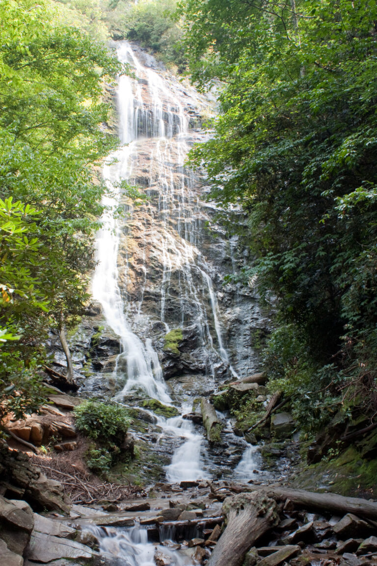
Upper Mingo Falls is a 20-foot horsetail waterfall on Mingo Creek in Swain County, North Carolina, on the Qualla Boundary near Cherokee. It is a separate, much smaller drop from the 120-foot Mingo Falls.
The falls
A single drop of about 20 feet is taken from lidar data; an independent North Carolina hiking guide gives the same height. The falls are still marked unconfirmed, and the name is considered unofficial.
Getting there
The approach starts on the Pigeon Creek Trail to Mingo Falls, which Wikipedia puts at 0.4 miles and rates moderately difficult; the trailhead is at Mingo Falls Campground on Big Cove Road, reached from US-441. The trail has 163 rebuilt steps to a new metal viewing platform. No permit is needed to enter the Qualla Boundary or hike the trail. Partway up, a steep scramble path leaves the main trail toward the upper falls; it is not a maintained route, and the NC Waterfalls author, who went once, does not recommend it.
When to go
The Mingo Falls trail was closed for renovation in summer 2025 and reopened that September. Parking at the trailhead is limited, so arriving early is recommended.
On site
The climb to the upper falls is steep and off-trail; the stairs and platform serve only the main falls.
History and name
The land is part of the Qualla Boundary, home of the Eastern Band of Cherokee Indians. Mingo is the Cherokee word for "Big Bear," and Big Bear Falls is an unofficial name for the main falls.
Nearby
Mingo Falls, also called Big Bear Falls, is on the same trail. Bradley Branch Falls is about 2.6 miles away, Crowe Hill Falls about 2.9 miles and Wrights Creek Falls about 3.4 miles.
Distances are straight-line.